
 Warner Robins
Wantagh
Bethel
Misty Hill Farm
United States
Wakonda Beach (R33) Airport
Wilmington
Poland
Miami International Airport
Warner Robins
Wantagh
Bethel
Misty Hill Farm
United States
Wakonda Beach (R33) Airport
Wilmington
Poland
Miami International Airport
Rolling Hills Red Deer Farm on the map, Bloomsburg, United States
Photo
Where is located Rolling Hills Red Deer Farm
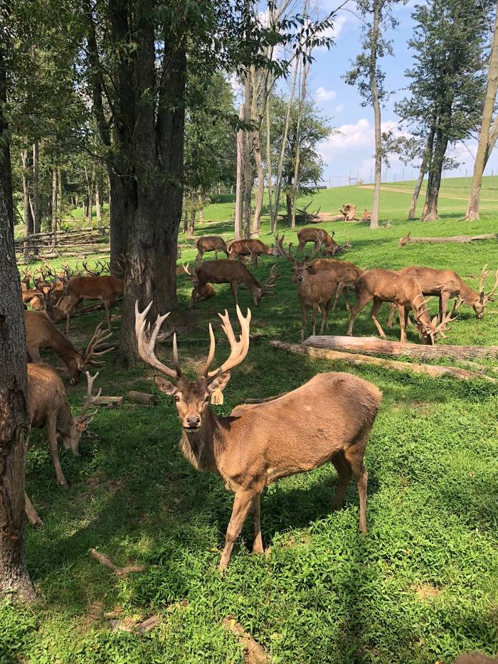
Rolling Hills Red Deer Farm — local attraction, which is located at 63 Pinnacle Dr, Catawissa, PA 17820, United States and belongs to the category — farm. Average visitor rating for this place — 4.8 (according to 215 ratings, information from open sources and relevant for 2022).
Exact location — Rolling Hills Red Deer Farm, marked on the map with a red marker.
You can get directions to Rolling Hills Red Deer Farm on the map from your location.
What else is interesting in Bloomsburg? You can see all the sights if you go to the city page.
Coordinates
Rolling Hills Red Deer Farm, United States coordinates in decimal format: latitude — 40.92194849900651, longitude — -76.49936917503918. When converted to degrees, minutes, seconds Rolling Hills Red Deer Farm has the following coordinates: 40°55′19.01 north latitude and -76°29′57.73 east longitude.
Nearby cities
The largest cities that are located nearby:
- Allentown — 92 km
- Philadelphia — 160 km
- Edison — 180 km
- Baltimore — 190 km
- Paterson — 191 km
- Elizabeth — 192 km
- Newark — 194 km
- New York — 208 km
- Brooklyn — 209 km
- Yonkers — 214 km
- Toms River — 224 km
- Syracuse — 227 km
- Stamford — 243 km
- Alexandria — 248 km
- Rochester — 256 km
- Boston — 258 km
- Bridgeport — 272 km
- Buffalo — 286 km
- Waterbury — 288 km
Distance to the capital
Distance to the capital (Washington) is about — 229 km.