
 Warner Robins
Wantagh
Bethel
Misty Hill Farm
United States
Wakonda Beach (R33) Airport
Wilmington
Poland
Miami International Airport
Warner Robins
Wantagh
Bethel
Misty Hill Farm
United States
Wakonda Beach (R33) Airport
Wilmington
Poland
Miami International Airport
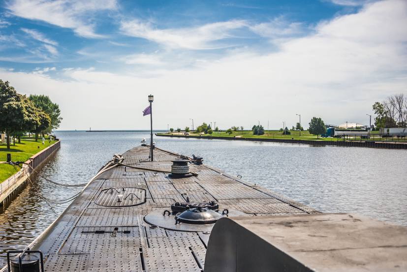
Manitowoc River on the map, Two Rivers, United States
Photo
Where is located Manitowoc River
Manitowoc River — local attraction, which is located at United States and belongs to the category — -. Average visitor rating for this place — 5.0 (according to 1 rating, information from open sources and relevant for 2022).
Exact location — Manitowoc River, marked on the map with a red marker.
You can get directions to Manitowoc River on the map from your location.
What else is interesting in Two Rivers? You can see all the sights if you go to the city page.
Coordinates
Manitowoc River, United States coordinates in decimal format: latitude — 44.15754356887936, longitude — -87.71634195973084. When converted to degrees, minutes, seconds Manitowoc River has the following coordinates: 44°9′27.16 north latitude and -87°42′58.83 east longitude.
Nearby cities
The largest cities that are located nearby:
- Green Bay — 54 km
- Milwaukee — 126 km
- Madison — 190 km
- Grand Rapids — 202 km
- Rockford — 243 km
- Chicago — 252 km
- Naperville — 270 km
- Aurora — 272 km
- Lansing — 291 km
- Joliet — 294 km
- South Bend — 295 km
- Flint — 338 km
- Ann Arbor — 375 km
- Fort Wayne — 396 km
- Sterling Heights — 408 km
- Warren — 413 km
- Peoria — 418 km
- Detroit — 421 km
- Windsor
 (Canada) — 423 km
Distance to the capital
Distance to the capital (Washington) is about — 1062 km.