
 Warner Robins
Wantagh
Bethel
Misty Hill Farm
United States
Wakonda Beach (R33) Airport
Wilmington
Poland
Miami International Airport
Warner Robins
Wantagh
Bethel
Misty Hill Farm
United States
Wakonda Beach (R33) Airport
Wilmington
Poland
Miami International Airport
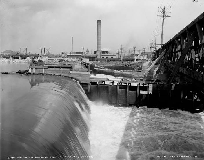
Chicago Sanitary and Ship Canal on the map, Oak Lawn, United States
Photo
Where is located Chicago Sanitary and Ship Canal
Chicago Sanitary and Ship Canal — local attraction, which is located at January 2, 1900 and belongs to the category — -. Average visitor rating for this place — 4.1 (according to 9 ratings, information from open sources and relevant for 2022).
Exact location — Chicago Sanitary and Ship Canal, marked on the map with a red marker.
You can get directions to Chicago Sanitary and Ship Canal on the map from your location.
What else is interesting in Oak Lawn? You can see all the sights if you go to the city page.
Coordinates
Chicago Sanitary and Ship Canal, United States coordinates in decimal format: latitude — 41.828787841110156, longitude — -87.7402361675569. When converted to degrees, minutes, seconds Chicago Sanitary and Ship Canal has the following coordinates: 41°49′43.64 north latitude and -87°44′24.85 east longitude.
Nearby cities
The largest cities that are located nearby:
- Chicago — 20 km
- Naperville — 34 km
- Joliet — 35 km
- Aurora — 47 km
- South Bend — 124 km
- Rockford — 126 km
- Milwaukee — 146 km
- Peoria — 192 km
- Madison — 201 km
- Grand Rapids — 217 km
- Fort Wayne — 229 km
- Indianapolis — 255 km
- Lansing — 282 km
- Green Bay — 310 km
- Ann Arbor — 333 km
- Toledo — 346 km
- Flint — 358 km
- Springfield — 389 km
- Detroit — 390 km
Distance to the capital
Distance to the capital (Washington) is about — 963 km.