
 Warner Robins
Wantagh
Bethel
Misty Hill Farm
United States
Wakonda Beach (R33) Airport
Wilmington
Poland
Miami International Airport
Warner Robins
Wantagh
Bethel
Misty Hill Farm
United States
Wakonda Beach (R33) Airport
Wilmington
Poland
Miami International Airport
John A Patten Island on the map, Soddy-Daisy, United States
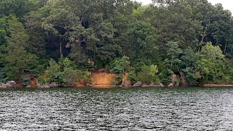
Photo
Where is located John A Patten Island
John A Patten Island — local attraction, which is located at no data and belongs to the category — -. Average visitor rating for this place — 5.0 (according to 1 rating, information from open sources and relevant for 2022).
Exact location — John A Patten Island, marked on the map with a red marker.
You can get directions to John A Patten Island on the map from your location.
What else is interesting in Soddy-Daisy? You can see all the sights if you go to the city page.
Coordinates
John A Patten Island, United States coordinates in decimal format: latitude — 35.15475425289259, longitude — -85.13185802481689. When converted to degrees, minutes, seconds John A Patten Island has the following coordinates: 35°9′17.12 north latitude and -85°7′54.69 east longitude.
Nearby cities
The largest cities that are located nearby:
- Chattanooga — 24 km
- Huntsville — 139 km
- Knoxville — 139 km
- Nashville — 175 km
- Atlanta — 180 km
- Clarksville — 240 km
- Birmingham — 241 km
- Montgomery — 334 km
- Louisville — 337 km
- Evansville — 367 km
- Charlotte — 393 km
- Columbia — 405 km
- Cincinnati — 432 km
- Memphis — 439 km
- Winston-Salem — 452 km
- Greensboro — 491 km
- Indianapolis — 508 km
- Savannah — 518 km
- Springfield — 531 km
Distance to the capital
Distance to the capital (Washington) is about — 831 km.