

Bamboo Udyan on the map, Amravati, India
Photo
Where is located Bamboo Udyan
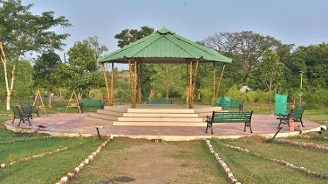
Bamboo Udyan — local attraction, which is located at Old ByPass ,Vita Bhatti Road, Laghuvetan Colony, Amravati, Maharashtra 444602, India and belongs to the category — garden. Average visitor rating for this place — 4.2 (according to 1441 rating, information from open sources and relevant for 2022).
Exact location — Bamboo Udyan, marked on the map with a red marker.
You can get directions to Bamboo Udyan on the map from your location.
What else is interesting in Amravati? You can see all the sights if you go to the city page.
Coordinates
Bamboo Udyan, India coordinates in decimal format: latitude — 20.92206238952938, longitude — 77.79293992448022. When converted to degrees, minutes, seconds Bamboo Udyan has the following coordinates: 20°55′19.42 north latitude and 77°47′34.58 east longitude.
Nearby cities
The largest cities that are located nearby:
- Achalpur — 45 km
- Akola — 85 km
- Nagpur — 137 km
- Chhindwara — 172 km
- Khandwa — 176 km
- Seoni — 221 km
- Jalna — 232 km
- Bhopal — 259 km
- Indore — 278 km
- Aurangabad — 279 km
- Ujjain — 320 km
- Jabalpur — 330 km
- Bidar — 335 km
- Durg — 362 km
- Nagda — 367 km
- Ahmednagar — 376 km
- Secunderabad — 394 km
- Raipur — 398 km
- Hyderabad — 400 km
Distance to the capital
Distance to the capital (New Delhi) is about — 858 km.