

Shri Vitthal Rukmini Temple on the map, Pandharpur, India
Photo
Where is located Shri Vitthal Rukmini Temple
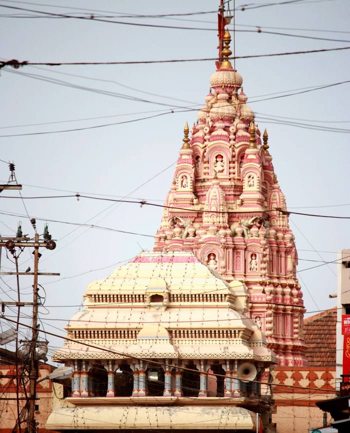
Shri Vitthal Rukmini Temple — local attraction, which is located at Main Road, Chouphala, Pandharpur, Maharashtra 413304, India and belongs to the category — mandir. Average visitor rating for this place — 4.7 (according to 21122 ratings, information from open sources and relevant for 2022).
Exact location — Shri Vitthal Rukmini Temple, marked on the map with a red marker.
You can get directions to Shri Vitthal Rukmini Temple on the map from your location.
What else is interesting in Pandharpur? You can see all the sights if you go to the city page.
Coordinates
Shri Vitthal Rukmini Temple, India coordinates in decimal format: latitude — 17.6758030047374, longitude — 75.32968721693946. When converted to degrees, minutes, seconds Shri Vitthal Rukmini Temple has the following coordinates: 17°40′32.89 north latitude and 75°19′46.87 east longitude.
Nearby cities
The largest cities that are located nearby:
- Solapur — 61 km
- Sangli — 120 km
- Kolhapur — 158 km
- Ahmednagar — 168 km
- Pune — 180 km
- Belgaum — 220 km
- Bidar — 233 km
- Aurangabad — 243 km
- Jalna — 245 km
- Hubli — 256 km
- Navi Mumbai — 283 km
- Ulhasnagar — 283 km
- Vasco da Gama — 298 km
- Thane — 298 km
- Mumbai — 299 km
- Mormugao — 299 km
- Nashik — 302 km
- Ballari — 328 km
- Virar — 330 km
Distance to the capital
Distance to the capital (New Delhi) is about — 1232 km.