
 Doetinchem
Wapenveld
Leeuwarden
Vlissingen
Sittard
Roosendaal
Sas van Gent
Zevenbergen
Geldrop
Etten
Kerkrade
Lunteren
Kampen
Venlo
Haaksbergen
Almelo
Hengelo
Breda
Katwijk
Doetinchem
Wapenveld
Leeuwarden
Vlissingen
Sittard
Roosendaal
Sas van Gent
Zevenbergen
Geldrop
Etten
Kerkrade
Lunteren
Kampen
Venlo
Haaksbergen
Almelo
Hengelo
Breda
Katwijk
Middelburg on the map, Netherlands
Where is located Middelburg
Exact location — Middelburg, Middelburg, Zeeland, Netherlands, marked on the map with a red marker.
Coordinates
Middelburg, Netherlands coordinates in decimal format: latitude — 51.4987962, longitude — 3.610998. When converted to degrees, minutes, seconds Middelburg has the following coordinates: 51°29′55.67 north latitude and 3°36′39.59 east longitude.
Population
Middelburg, Middelburg, Zeeland, Netherlands, according to our data the population is — 47,307 residents, which is about 0.3% of the total population of the country (Netherlands).
Comparison of the population on the graph:
Exact time
Time zone for this location Middelburg — UTC +2 Europe/Amsterdam. Exact time — monday, 7 july 2024 year, 00 h. 30 minutes.
Sunrise and sunset
Middelburg, sunrise and sunset data for a date — monday 1.07.2024.
| Sunrise | Sunset | Day (duration) |
|---|---|---|
| 05:38 +1 minute | 22:01 -0 minutes | 16 h. 24 minutes. -1 minute |
You can control the scale of the map using the auxiliary tools to find out exactly where it is located Middelburg. When you change the scale of the map, the width of the ruler also changes (in kilometers and miles).
Nearby cities
The largest cities that are located nearby:
- Antwerp
 (Belgium) — 63 km
 - Rotterdam — 76 km
- The Hague — 79 km
- Breda — 81 km
- Dordrecht — 82 km
- Zoetermeer — 86 km
- Brussels (Belgium) — 88 km
- Leiden — 95 km
- Tilburg — 102 km
- Lille
 (France) — 104 km
 - Hoofddorp — 115 km
- 's-Hertogenbosch — 118 km
- Haarlem — 121 km
- Utrecht — 122 km
- Eindhoven — 128 km
- Charleroi (Belgium) — 134 km
- Amersfoort — 141 km
- Namur (Belgium) — 144 km
- Almere — 146 km
Distance to neighboring capitals:
- Brussels (Belgium) — 89 km
- Paris (France) — 307 km
- Bern
 (Switzerland) — 578 km
 - Berlin
 (Germany) — 680 km
 - Copenhagen
 (Denmark) — 751 km
 - Prague
 (Czech Republic) — 777 km
 - Vienna
 (Austria) — 984 km
 - Warsaw
 (Poland) — 1195 km
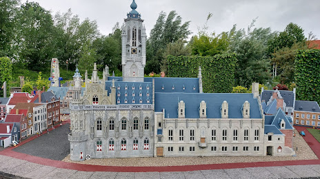
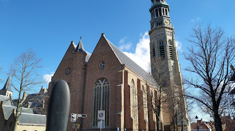
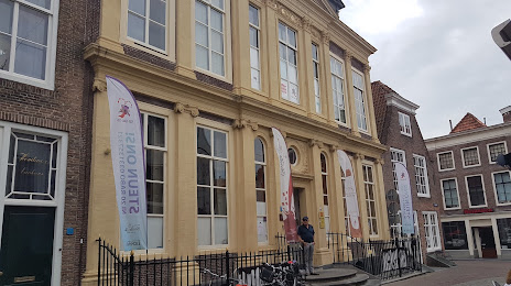
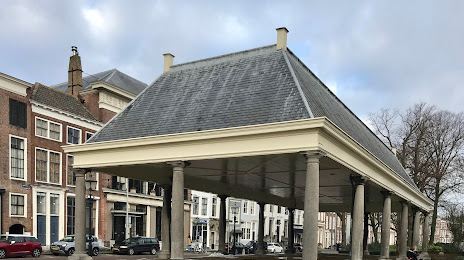
Attractions


Distance to the capital
Distance to the capital (Amsterdam) is about — 131 km.