
 Born
Veghel
Veendam
Heerlen
Purmerend
Scherpenzeel
Arnhem
Rhenen
Eijsden
Heemskerk
De Bilt
Wageningen
Delft
IJsselstein
Nuenen
Wervershoof
Rijswijk
Mijdrecht
Veenendaal
Born
Veghel
Veendam
Heerlen
Purmerend
Scherpenzeel
Arnhem
Rhenen
Eijsden
Heemskerk
De Bilt
Wageningen
Delft
IJsselstein
Nuenen
Wervershoof
Rijswijk
Mijdrecht
Veenendaal
Bloemendaal on the map, Netherlands
Where is located Bloemendaal
Exact location — Bloemendaal, Bloemendaal, Noord-Holland, Netherlands, marked on the map with a red marker.
Coordinates
Bloemendaal, Netherlands coordinates in decimal format: latitude — 52.4049474, longitude — 4.6201852. When converted to degrees, minutes, seconds Bloemendaal has the following coordinates: 52°24′17.81 north latitude and 4°37′12.67 east longitude.
Population
Bloemendaal, Bloemendaal, Noord-Holland, Netherlands, according to our data the population is — 16,802 residents, which is about 0.1% of the total population of the country (Netherlands).
Comparison of the population on the graph:
Exact time
Time zone for this location Bloemendaal — UTC +2 Europe/Amsterdam. Exact time — friday, 6 june 2024 year, 12 h. 08 minutes.
Sunrise and sunset
Bloemendaal, sunrise and sunset data for a date — friday 28.06.2024.
| Sunrise | Sunset | Day (duration) |
|---|---|---|
| 05:27 +1 minute | 22:02 -0 minutes | 16 h. 36 minutes. -1 minute |
You can control the scale of the map using the auxiliary tools to find out exactly where it is located Bloemendaal. When you change the scale of the map, the width of the ruler also changes (in kilometers and miles).
Nearby cities
The largest cities that are located nearby:
- Haarlem — 3 km
- Hoofddorp — 12 km
- Leiden — 28 km
- Zoetermeer — 39 km
- The Hague — 43 km
- Almere — 44 km
- Utrecht — 49 km
- Rotterdam — 54 km
- Amersfoort — 59 km
- Dordrecht — 66 km
- Ede — 82 km
- 's-Hertogenbosch — 91 km
- Breda — 91 km
- Apeldoorn — 94 km
- Arnhem — 99 km
- Tilburg — 99 km
- Zwolle — 99 km
- Nijmegen — 106 km
- Eindhoven — 122 km
Distance to neighboring capitals:
- Brussels
 (Belgium) — 174 km
 - Paris
 (France) — 426 km
 - Berlin
 (Germany) — 595 km
 - Copenhagen
 (Denmark) — 633 km
 - Bern
 (Switzerland) — 640 km
 - Prague
 (Czech Republic) — 730 km
 - Vienna
 (Austria) — 955 km
 - Warsaw
 (Poland) — 1112 km
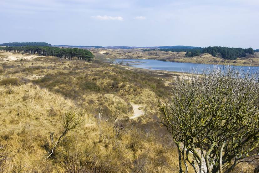
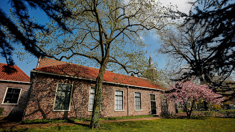
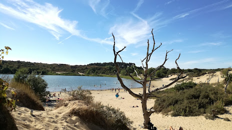
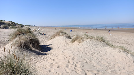
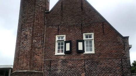
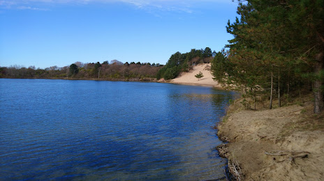
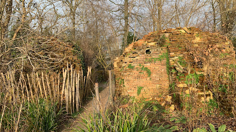
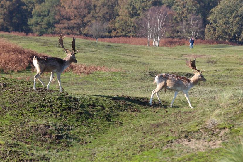
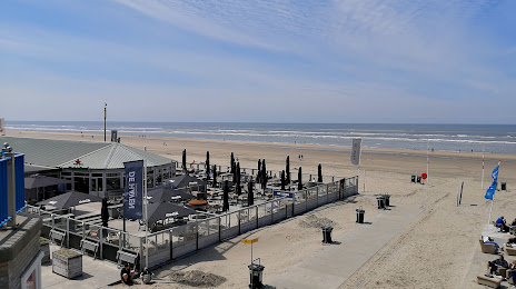
Attractions


Distance to the capital
Distance to the capital (Amsterdam) is about — 19 km.