

Sangameshwar Mandir on the map, Sangli, India
Photo
Where is located Sangameshwar Mandir
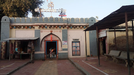
Sangameshwar Mandir — local attraction, which is located at Haripur, Sangli, Maharashtra 416416, India and belongs to the category — hindu temple. Average visitor rating for this place — 4.5 (according to 29 ratings, information from open sources and relevant for 2022).
Exact location — Sangameshwar Mandir, marked on the map with a red marker.
You can get directions to Sangameshwar Mandir on the map from your location.
What else is interesting in Sangli? You can see all the sights if you go to the city page.
Coordinates
Sangameshwar Mandir, India coordinates in decimal format: latitude — 16.846954880704725, longitude — 74.53616902441831. When converted to degrees, minutes, seconds Sangameshwar Mandir has the following coordinates: 16°50′49.04 north latitude and 74°32′10.21 east longitude.
Nearby cities
The largest cities that are located nearby:
- Kolhapur — 40 km
- Belgaum — 111 km
- Solapur — 166 km
- Hubli — 174 km
- Vasco da Gama — 180 km
- Mormugao — 181 km
- Pune — 199 km
- Ahmednagar — 249 km
- Navi Mumbai — 291 km
- Ulhasnagar — 301 km
- Mumbai — 304 km
- Thane — 311 km
- Ballari — 313 km
- Bidar — 331 km
- Aurangabad — 344 km
- Virar — 344 km
- Jalna — 356 km
- Nashik — 357 km
- Udupi — 389 km
Distance to the capital
Distance to the capital (New Delhi) is about — 1337 km.