 Betteshanger
Lynton
Amesbury
Marlow
Burford
Chipping Norton
Marlborough
Cairnryan
Lydney
Betteshanger
Lynton
Amesbury
Marlow
Burford
Chipping Norton
Marlborough
Cairnryan
Lydney
National Trust - Cissbury Ring on the map, Worthing, United Kingdom
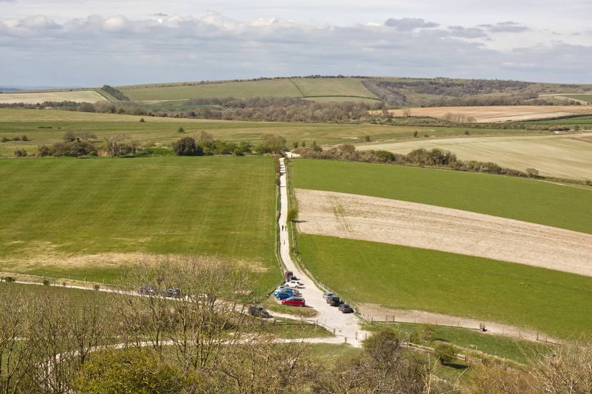
Photo
Where is located National Trust - Cissbury Ring
National Trust - Cissbury Ring — local attraction, which is located at Findon, Valley, Worthing BN14 0HT, United Kingdom and belongs to the category — $$. Average visitor rating for this place — 4.7 (according to 833 ratings, information from open sources and relevant for 2022).
Exact location — National Trust - Cissbury Ring, marked on the map with a red marker.
You can get directions to National Trust - Cissbury Ring on the map from your location.
What else is interesting in Worthing? You can see all the sights if you go to the city page.
Coordinates
National Trust - Cissbury Ring, United Kingdom coordinates in decimal format: latitude — 50.86042591871441, longitude — -0.38331167479887424. When converted to degrees, minutes, seconds National Trust - Cissbury Ring has the following coordinates: 50°51′37.53 north latitude and -0°22′59.92 east longitude.
Nearby cities
The largest cities that are located nearby:
- Crawley — 35 km
- Eastbourne — 47 km
- Portsmouth — 50 km
- Sutton — 61 km
- Southampton — 73 km
- Slough — 78 km
- Reading — 82 km
- Gillingham — 90 km
- Watford — 93 km
- Basildon — 103 km
- Bournemouth — 106 km
- Southend-on-Sea — 110 km
- Chelmsford — 117 km
- Luton — 117 km
- Oxford — 120 km
- Swindon — 127 km
- Le Havre
 (France) — 150 km
 - Cambridge — 157 km
- Northampton — 161 km
Distance to the capital
Distance to the capital (London) is about — 74 km.