 Betteshanger
Lynton
Amesbury
Marlow
Burford
Chipping Norton
Marlborough
Cairnryan
Lydney
Betteshanger
Lynton
Amesbury
Marlow
Burford
Chipping Norton
Marlborough
Cairnryan
Lydney
Belfast Zoo on the map, Carrickfergus, United Kingdom
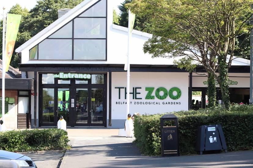
Photo
Where is located Belfast Zoo
Belfast Zoo — local attraction, which is located at Antrim Rd, Belfast BT36 7PN, United Kingdom and belongs to the category — zoo. Average visitor rating for this place — 4.3 (according to 3095 ratings, information from open sources and relevant for 2022).
Exact location — Belfast Zoo, marked on the map with a red marker.
You can get directions to Belfast Zoo on the map from your location.
What else is interesting in Carrickfergus? You can see all the sights if you go to the city page.
Coordinates
Belfast Zoo, United Kingdom coordinates in decimal format: latitude — 54.65456955022116, longitude — -5.94271887456242. When converted to degrees, minutes, seconds Belfast Zoo has the following coordinates: 54°39′16.45 north latitude and -5°56′33.79 east longitude.
Nearby cities
The largest cities that are located nearby:
- Belfast — 16 km
- Dublin
 (Ireland) — 155 km
 - Glasgow — 159 km
- Edinburgh — 212 km
- Preston — 229 km
- Liverpool — 236 km
- Blackburn — 243 km
- Manchester — 272 km
- Sunderland — 282 km
- Huddersfield — 290 km
- Stoke-on-Trent — 308 km
- Telford — 320 km
- Sheffield — 323 km
- Rotherham — 326 km
- Dudley — 351 km
- West Bromwich — 354 km
- Sutton Coldfield — 359 km
- Birmingham — 362 km
- Cork (Ireland) — 362 km
Distance to the capital
Distance to the capital (London) is about — 523 km.