 Betteshanger
Lynton
Amesbury
Marlow
Burford
Chipping Norton
Marlborough
Cairnryan
Lydney
Betteshanger
Lynton
Amesbury
Marlow
Burford
Chipping Norton
Marlborough
Cairnryan
Lydney
Church of St Mary on the map, Whitby, United Kingdom
Photo
Where is located Church of St Mary
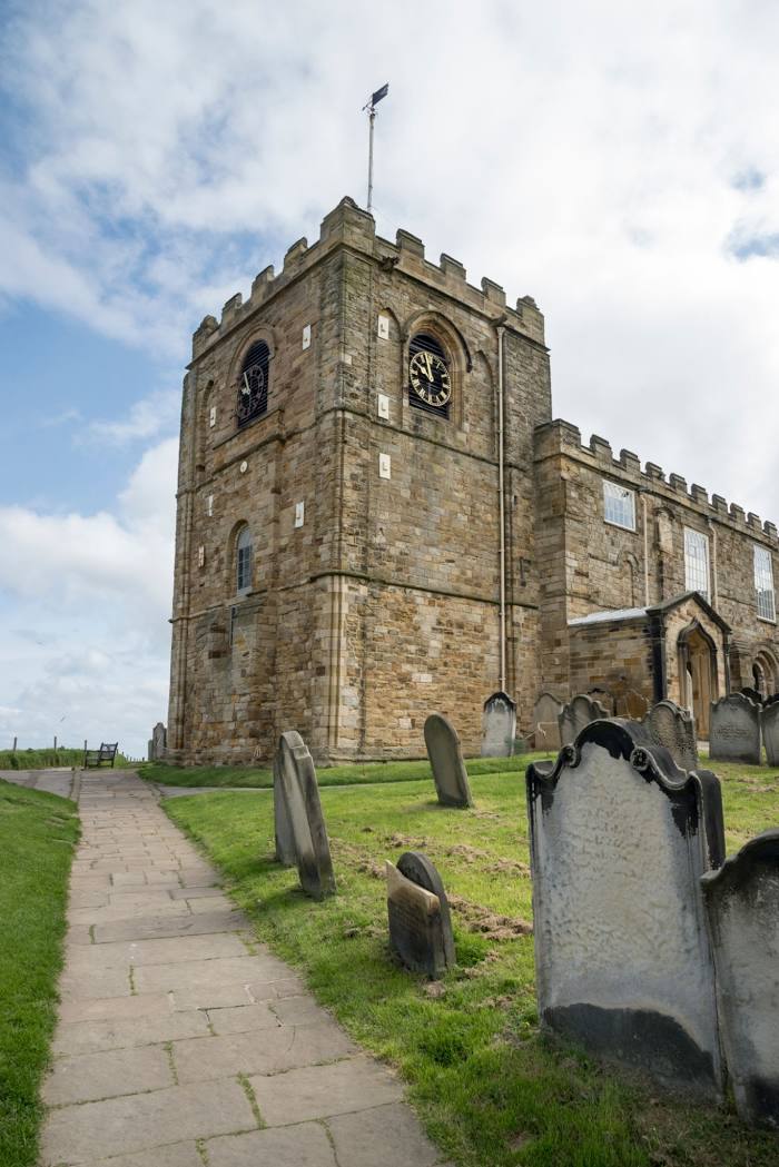
Church of St Mary — local attraction, which is located at Abbey Plain, Whitby YO22 4JR, United Kingdom and belongs to the category — parish church. Average visitor rating for this place — 4.7 (according to 119 ratings, information from open sources and relevant for 2022).
Exact location — Church of St Mary, marked on the map with a red marker.
You can get directions to Church of St Mary on the map from your location.
What else is interesting in Whitby? You can see all the sights if you go to the city page.
Coordinates
Church of St Mary, United Kingdom coordinates in decimal format: latitude — 54.47952257134224, longitude — -0.6252339009866869. When converted to degrees, minutes, seconds Church of St Mary has the following coordinates: 54°28′46.28 north latitude and -0°37′30.84 east longitude.
Nearby cities
The largest cities that are located nearby:
- Sunderland — 68 km
- Huddersfield — 121 km
- Rotherham — 127 km
- Sheffield — 135 km
- Blackburn — 147 km
- Manchester — 154 km
- Preston — 158 km
- Stoke-on-Trent — 194 km
- Liverpool — 197 km
- Leicester — 208 km
- Sutton Coldfield — 227 km
- Edinburgh — 227 km
- Telford — 235 km
- West Bromwich — 237 km
- Birmingham — 237 km
- Coventry — 238 km
- Dudley — 240 km
- Norwich — 242 km
- Northampton — 249 km
Distance to the capital
Distance to the capital (London) is about — 332 km.