
 Snina
Teplička nad Váhom
Vysoké Tatry
Banská Štiavnica
Holíč
Tomášov
Limbach
Čaňa
Topoľčianky
Štrbské Pleso
Krompachy
Púchov
Komárno
Stará Ľubovňa
Spišská Nová Ves
Rožňava
Kežmarok
Humenné
Námestovo
Snina
Teplička nad Váhom
Vysoké Tatry
Banská Štiavnica
Holíč
Tomášov
Limbach
Čaňa
Topoľčianky
Štrbské Pleso
Krompachy
Púchov
Komárno
Stará Ľubovňa
Spišská Nová Ves
Rožňava
Kežmarok
Humenné
Námestovo
Dubnica nad Váhom on the map, Slovakia
Where is located Dubnica nad Váhom
Exact location — Dubnica nad Váhom, Ilava District, Trenčín Region, Slovakia, marked on the map with a red marker.
Coordinates
Dubnica nad Váhom, Slovakia coordinates in decimal format: latitude — 48.9606955, longitude — 18.171884. When converted to degrees, minutes, seconds Dubnica nad Váhom has the following coordinates: 48°57′38.5 north latitude and 18°10′18.78 east longitude.
Population
Dubnica nad Váhom, Ilava District, Trenčín Region, Slovakia, according to our data the population is — 26,617 residents, which is about 0.5% of the total population of the country (Slovakia).
Comparison of the population on the graph:
Exact time
Time zone for this location Dubnica nad Váhom — UTC +2 Europe/Bratislava. Exact time — sunday, 9 september 2024 year, 00 h. 22 minutes.
Sunrise and sunset
Dubnica nad Váhom, sunrise and sunset data for a date — sunday 15.09.2024.
| Sunrise | Sunset | Day (duration) |
|---|---|---|
| 06:28 +2 minutes | 18:56 -2 minutes | 12 h. 30 minutes. -4 minutes |
You can control the scale of the map using the auxiliary tools to find out exactly where it is located Dubnica nad Váhom. When you change the scale of the map, the width of the ruler also changes (in kilometers and miles).
Nearby cities
The largest cities that are located nearby:
- Ostrava
 (Czech Republic) — 95 km
 - Olomouc (Czech Republic) — 96 km
- Bielsko-Biala
 (Poland) — 114 km
 - Brno (Czech Republic) — 116 km
- Rybnik (Poland) — 129 km
- Győr
 (Hungary) — 146 km
 - Ruda Slaska (Poland) — 151 km
- Gliwice (Poland) — 152 km
- Katowice (Poland) — 156 km
- Vienna
 (Austria) — 156 km
 - Zabrze (Poland) — 157 km
- Chorzow (Poland) — 158 km
- Sosnowiec (Poland) — 161 km
- Bytom (Poland) — 162 km
- Dabrowa Gornicza (Poland) — 167 km
- Budapest (Hungary) — 174 km
- Kraków (Poland) — 175 km
- Opole (Poland) — 190 km
- Székesfehérvár (Hungary) — 197 km
Distance to neighboring capitals:
- Vienna (Austria) — 157 km
- Budapest (Hungary) — 175 km
- Prague (Czech Republic) — 297 km
- Warsaw (Poland) — 415 km
- Ljubljana
 (Slovenia) — 424 km
 - Belgrade
 (Serbia) — 495 km
 - Berlin
 (Germany) — 519 km
 - Bucharest
 (Romania) — 787 km
 - Minsk
 (Belarus) — 851 km
 - Kyiv
 (Ukraine) — 903 km
 - Moscow
 (Russia) — 1514 km
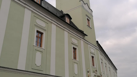
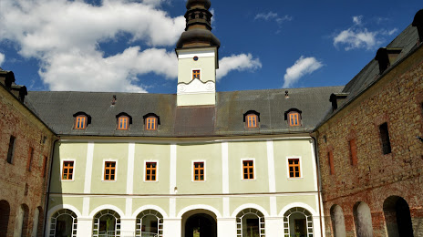
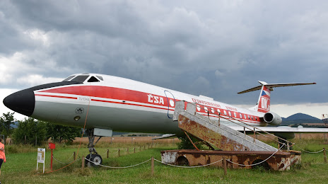
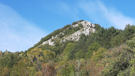
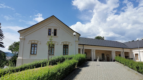
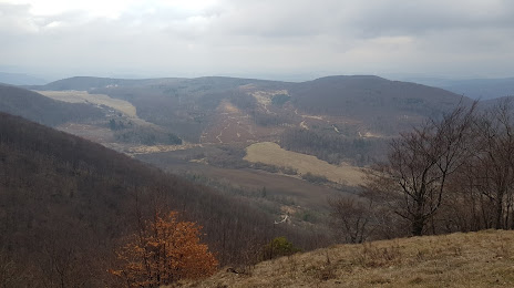
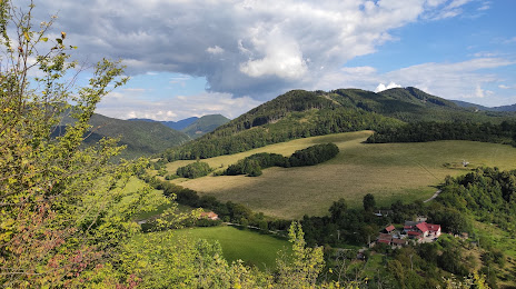
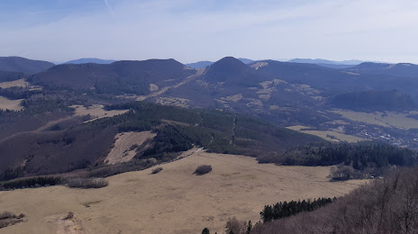
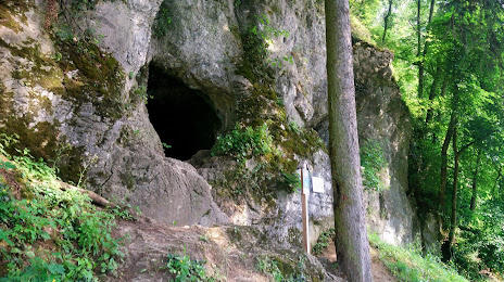
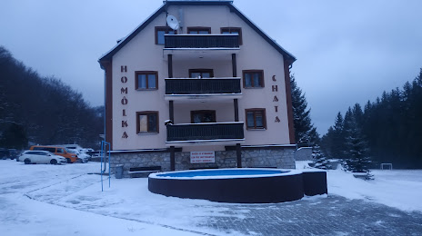
Attractions

Distance to the capital
Distance to the capital (Bratislava) is about — 120 km.