
 Crookston
Warner Robins
Vienna
Minneapolis
Norwich Landing Strip
Urbandale
Omro
Rosamond
Perry
Belmont
Burlington
Norwell
Addison
Syracuse
Merrimac
Laconia
Dedham
Woburn
North Bend
Crookston
Warner Robins
Vienna
Minneapolis
Norwich Landing Strip
Urbandale
Omro
Rosamond
Perry
Belmont
Burlington
Norwell
Addison
Syracuse
Merrimac
Laconia
Dedham
Woburn
North Bend
Irving on the map, United States
Where is located Irving
Exact location — Irving, Dallas County, Texas, United States, marked on the map with a red marker.
Coordinates
Irving, United States coordinates in decimal format: latitude — 32.8140177, longitude — -96.9488945. When converted to degrees, minutes, seconds Irving has the following coordinates: 32°48′50.46 north latitude and -96°56′56.02 east longitude.
Population
Irving, Dallas County, Texas, United States, according to our data the population is — 193,825 residents, which is about 0.1% of the total population of the country (United States).
Comparison of the population on the graph:
Exact time
Time zone for this location Irving — UTC -5 America/Chicago. Exact time — sunday, 5 may 2024 year, 09 h. 49 minutes.
Sunrise and sunset
Irving, sunrise and sunset data for a date — sunday 5.05.2024.
| Sunrise | Sunset | Day (duration) |
|---|---|---|
| 06:38 -1 minute | 20:09 -0 minutes | 13 h. 30 minutes. +1 minute |
You can control the scale of the map using the auxiliary tools to find out exactly where it is located Irving. When you change the scale of the map, the width of the ruler also changes (in kilometers and miles).
Nearby cities
The largest cities that are located nearby:
- Grand Prairie — 9 km
- Dallas — 15 km
- Arlington — 17 km
- Carrollton — 19 km
- Richardson — 25 km
- Garland — 31 km
- Plano — 32 km
- Mesquite — 33 km
- Fort Worth — 36 km
- Frisco — 39 km
- Denton — 47 km
- Waco — 141 km
- Wichita Falls — 187 km
- Killeen — 202 km
- Abilene — 263 km
- Norman — 270 km
- Austin — 292 km
- Oklahoma City — 298 km
- Shreveport — 300 km
Distance to neighboring capitals:
- Mexico City
 (Mexico) — 1504 km
 - Belmopan
 (Belize) — 1915 km
 - Guatemala City
 (Guatemala) — 2126 km
 - Ottawa
 (Canada) — 2296 km
 - Nuuk
 (Greenland) — 4647 km
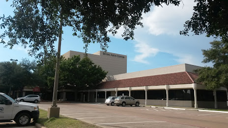
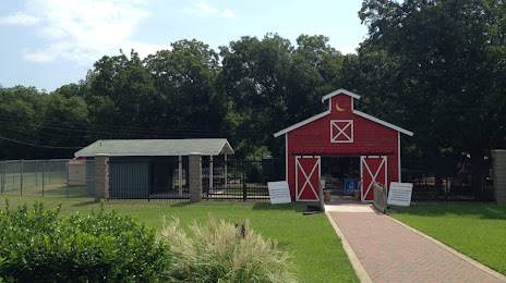
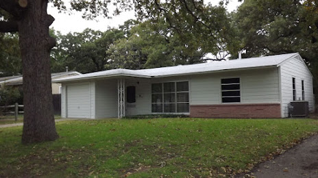
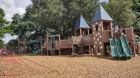
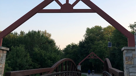
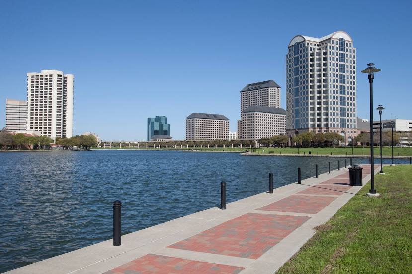
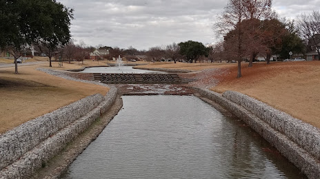
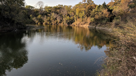
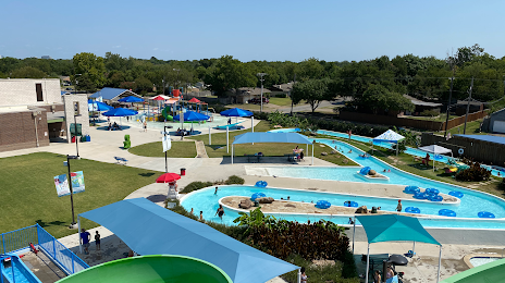
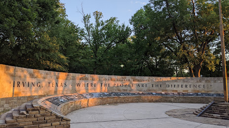
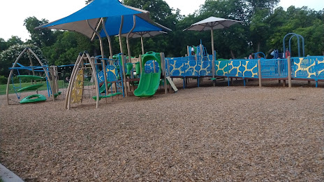
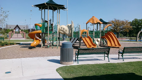
Attractions


Distance to the capital
Distance to the capital (Washington) is about — 1914 km.