Saint Louis — Lake Elmo
Saint Louis — Hutchinson
Saint Louis — Hopeton
Saint Louis — Denver
Saint Louis — Old Lyme
Saint Louis — River Falls
Saint Louis — Allen
Saint Louis — Granite
Saint Louis — Flandreau
Saint Louis — Rockdale
Saint Louis — Readsboro
Saint Louis — Blanchardville
Saint Louis — Freeburg
Saint Louis — Latimer
Saint Louis — Rusk
Saint Louis — Garden City
Saint Louis — Mount Pleasant
Saint Louis — Seldovia
Saint Louis — Sheridan
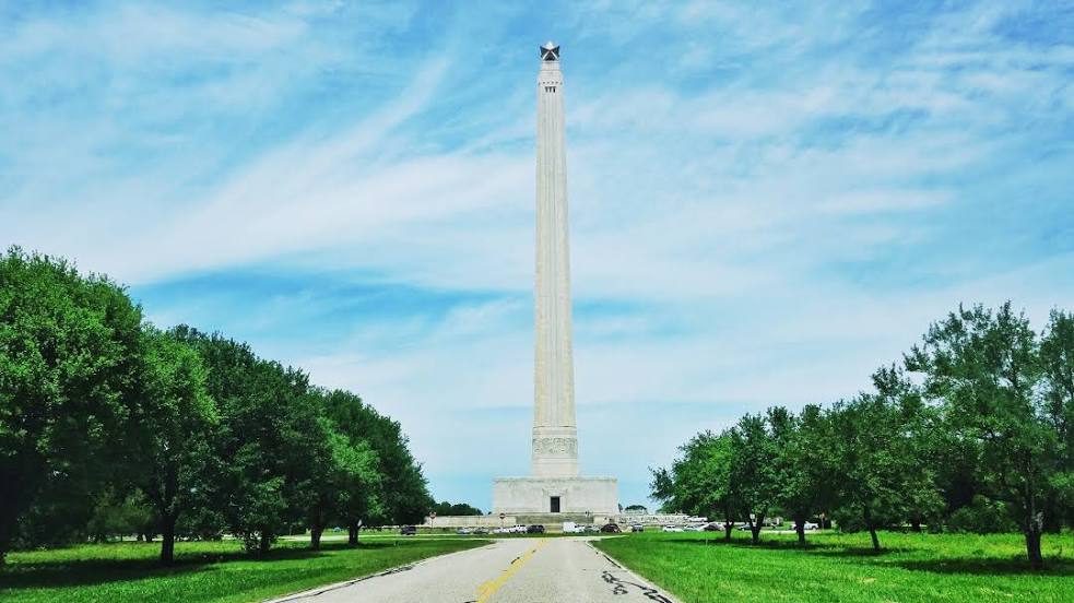
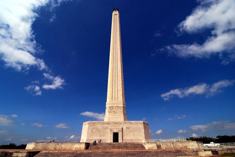
Saint Louis — Baytown distance, route on the map
Distance by car
Distance between Saint Louis, Missouri, United States and Baytown, Texas, United States by car is — km, or miles. To travel this distance by car, you need minute, or h.
Route on the map, driving directions
Car route Saint Louis — Baytown was created automatically. The road on the map is shown as a blue line. By moving the markers, you can create a new route through the points you need.
Distance by plane
If you decide to take a trip Saint Louis Baytown by plane, then you have to fly the distance — 1082 km or 671 miles. It is marked on the map with a gray line (between two points in a straight line).
Flight time
Estimated flight time Saint Louis Baytown by plane at cruising speed 750 km / h will be — 1 h. and 26 min.
Direction of movement
United States, Saint Louis — right-hand traffic. United States, Baytown — right-hand traffic.
Difference in time
Saint Louis and Baytown are in the same time zone. Between them there is no time difference (UTC -5 America/Chicago).
Interesting Facts
Information on alternative ways to get to your destination.
The length of this distance is about 2.7% of the total length of the equator.
The percentage of the population is clearly shown in the graph:
Saint Louis — 320,916, Baytown — 67,341 residents (less by 253,575).
The cost of travel
Calculate the cost of the trip yourself using the fuel consumption calculator, changing the data in the table.