Fairview Heights — Valders
Fairview Heights — Wakarusa
Fairview Heights — Glentana
Fairview Heights — Knapp
Fairview Heights — New Baden
Fairview Heights — Lutsen
Fairview Heights — Rathdrum
Fairview Heights — Sevier
Fairview Heights — Goodfield
Fairview Heights — Sterling
Fairview Heights — Gloster
Fairview Heights — Sanford
Fairview Heights — Prospect
Fairview Heights — Nancy
Fairview Heights — Mozier
Fairview Heights — Munger
Fairview Heights — Ashkum
Fairview Heights — Stanwood
Fairview Heights — Houghton
East Saint Louis
St. Louis
Granite City
St. Louis
St. Louis Lambert International Airport
Bridgeton
Maryland Heights
Earth City
Saint Charles
Saint Peters
O'Fallon
Lake Saint Louis
Wentzville
Foristell
Wright City
Truesdale
Warrenton
Jonesburg
New Florence
Kingdom City
Columbia
Rocheport
Lamine Township
Blackwater
Sweet Springs
Emma
Mayview
Bates City
Grain Valley
Blue Springs
Independence
Independence
Independence
North Kansas City
Gladstone
Clay County
Kansas City
Kansas City International Airport
Kansas City International Airport
Platte City
Camden Point
Faucett
Buchanan County
St. Joseph
Amazonia
Rock Port
Nebraska City
Dallas
Otoe
Syracuse
Palmyra
Lincoln
Lincoln
Pleasant Dale
Beaver Crossing
York
Aurora
Giltner
Alda
Gibbon
Kearney
Lexington
Cozad
Gothenburg
North Platte
Hershey
Ogallala
Julesburg
Chappell
Lodgepole
Kimball
Cheyenne
Laramie
Elk Mountain
Sinclair
Rawlins
Rock Springs
Lyman
Fort Bridger
Coalville
Henefer
Morgan County
Washington Terrace
Riverdale
Ogden
Brigham City
Corinne
Honeyville
Tremonton Municipal Airport
Tremonton
Snowville
Travers
Burley
Hazelton
Kimberly
Hagerman
Bliss
Glenns Ferry
Hammett
Mountain Home
Boise
Boise
Meridian
Nampa
Caldwell
Canyon County
New Plymouth
Fruitland
Ontario
Payette
Baker County
Baker City
North Powder
La Grande
Meacham
Pendleton
Eastern Oregon Regional Airport at Pendleton
Stanfield
Hermiston
Umatilla
Irrigon
Prosser
Sunnyside
Outlook
Granger
Zillah
Toppenish
Wapato
Moxee
Yakima
Selah
Pomona
Ellensburg
Cle Elum
North Bend
Snoqualmie
King County
Issaquah
Newcastle
Beaux Arts Village
Medina
Hunts Point
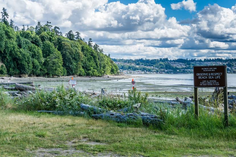
Fairview Heights — Shoreline distance, route on the map
Distance by car
Distance between Fairview Heights, Illinois, United States and Shoreline, Washington, United States by car is — km, or miles. To travel this distance by car, you need minute, or h.
Route on the map, driving directions
Car route Fairview Heights — Shoreline was created automatically. The road on the map is shown as a blue line. By moving the markers, you can create a new route through the points you need.
Passing cities through which the car route passes: Caseyville, East Saint Louis, St. Louis, Granite City, St. Louis, St. Louis Lambert International Airport, Bridgeton, Maryland Heights, Earth City, Saint Charles, Saint Peters, O'Fallon, Lake Saint Louis, Wentzville, Foristell, Wright City, Truesdale, Warrenton, Jonesburg, New Florence, Kingdom City, Columbia, Rocheport, Lamine Township, Blackwater, Sweet Springs, Emma, Mayview, Bates City, Grain Valley, Blue Springs, Independence, Independence, Independence, North Kansas City, Gladstone, Clay County, Kansas City, Kansas City International Airport, Kansas City International Airport, Platte City, Camden Point, Faucett, Buchanan County, St. Joseph, Amazonia, Rock Port, Nebraska City, Dallas, Otoe, Syracuse, Palmyra, Lincoln, Lincoln, Pleasant Dale, Beaver Crossing, York, Aurora, Giltner, Alda, Gibbon, Kearney, Lexington, Cozad, Gothenburg, North Platte, Hershey, Ogallala, Julesburg, Chappell, Lodgepole, Kimball, Cheyenne, Laramie, Elk Mountain, Sinclair, Rawlins, Rock Springs, Lyman, Fort Bridger, Coalville, Henefer, Morgan County, Washington Terrace, Riverdale, Ogden, Brigham City, Corinne, Honeyville, Tremonton Municipal Airport, Tremonton, Snowville, Travers, Burley, Hazelton, Kimberly, Hagerman, Bliss, Glenns Ferry, Hammett, Mountain Home, Boise, Boise, Meridian, Nampa, Caldwell, Canyon County, New Plymouth, Fruitland, Ontario, Payette, Baker County, Baker City, North Powder, La Grande, Meacham, Pendleton, Eastern Oregon Regional Airport at Pendleton, Stanfield, Hermiston, Umatilla, Irrigon, Prosser, Sunnyside, Outlook, Granger, Zillah, Toppenish, Wapato, Moxee, Yakima, Selah, Pomona, Ellensburg, Cle Elum, North Bend, Snoqualmie, King County, Issaquah, Newcastle, Beaux Arts Village, Medina, Hunts Point.
Distance by plane
If you decide to take a trip Fairview Heights Shoreline by plane, then you have to fly the distance — 2791 km or 1730 miles. It is marked on the map with a gray line (between two points in a straight line).
Flight time
Estimated flight time Fairview Heights Shoreline by plane at cruising speed 750 km / h will be — 3 h. and 43 min.
Direction of movement
United States, Fairview Heights — right-hand traffic. United States, Shoreline — right-hand traffic.
Difference in time
Fairview Heights and Shoreline are in different time zones. The time difference is 2 hours (UTC -5 America/Chicago, UTC -7 America/Los_Angeles).
Interesting Facts
Information on alternative ways to get to your destination.
The length of this distance is about 7.0% of the total length of the equator.
The percentage of the population is clearly shown in the graph:
Fairview Heights — 15,362 (less by 37,645), Shoreline — 53,007 residents.
The cost of travel
Calculate the cost of the trip yourself using the fuel consumption calculator, changing the data in the table.