Rosenberg — Ballico
Rosenberg — Carlyle
Rosenberg — Oco
Rosenberg — New Plymouth
Rosenberg — Inverness
Rosenberg — McAndrews
Rosenberg — Kenansville
Rosenberg — Dennis
Rosenberg — Lamoni
Rosenberg — Gardner
Rosenberg — Newton Grove
Rosenberg — Sims
Rosenberg — Otterville
Rosenberg — Raywood
Rosenberg — Jarratt
Rosenberg — Manton
Rosenberg — Pauls Valley
Rosenberg — Bakersville
Rosenberg — Johnsonville
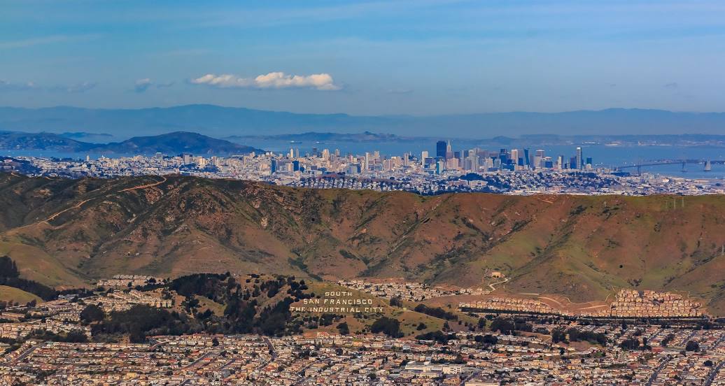
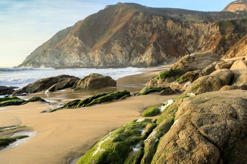
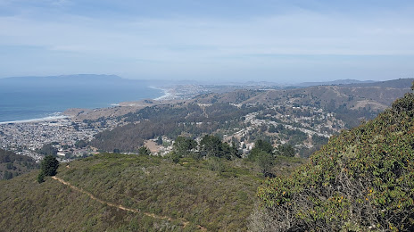
Rosenberg — South San Francisco distance, route on the map
Distance by car
Distance between Rosenberg, Texas, United States and South San Francisco, California, United States by car is — km, or miles. To travel this distance by car, you need minute, or h.
Route on the map, driving directions
Car route Rosenberg — South San Francisco was created automatically. The road on the map is shown as a blue line. By moving the markers, you can create a new route through the points you need.
Distance by plane
If you decide to take a trip Rosenberg South San Francisco by plane, then you have to fly the distance — 2613 km or 1620 miles. It is marked on the map with a gray line (between two points in a straight line).
Flight time
Estimated flight time Rosenberg South San Francisco by plane at cruising speed 750 km / h will be — 3 h. and 29 min.
Direction of movement
United States, Rosenberg — right-hand traffic. United States, South San Francisco — right-hand traffic.
Difference in time
Rosenberg and South San Francisco are in different time zones. The time difference is 2 hours (UTC -5 America/Chicago, UTC -7 America/Los_Angeles).
Interesting Facts
Information on alternative ways to get to your destination.
The length of this distance is about 6.5% of the total length of the equator.
The percentage of the population is clearly shown in the graph:
Rosenberg — 29,753 (less by 28,802), South San Francisco — 58,555 residents.
The cost of travel
Calculate the cost of the trip yourself using the fuel consumption calculator, changing the data in the table.