Palmdale — Kalina
Palmdale — Barksdale
Palmdale — Greeley
Palmdale — Formoso
Palmdale — Marcus
Palmdale — Dracut
Palmdale — Saunders
Palmdale — Larsen Bay
Palmdale — Willet
Palmdale — Wrightsville
Palmdale — Wheatfield
Palmdale — Wynnewood
Palmdale — Nebraska City
Palmdale — Latium
Palmdale — Ephraim
Palmdale — Otis
Palmdale — Arkansas
Palmdale — Clarksville
Palmdale — Eufaula
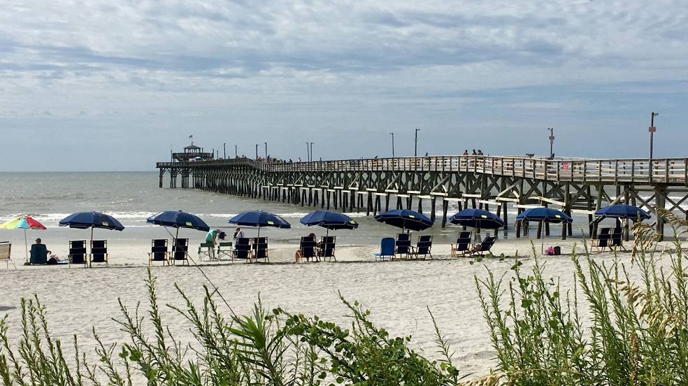
Palmdale — North Myrtle Beach distance, route on the map
Distance by car
Distance between Palmdale, California, United States and North Myrtle Beach, South Carolina, United States by car is — km, or miles. To travel this distance by car, you need minute, or h.
Route on the map, driving directions
Car route Palmdale — North Myrtle Beach was created automatically. The road on the map is shown as a blue line. By moving the markers, you can create a new route through the points you need.
Distance by plane
If you decide to take a trip Palmdale North Myrtle Beach by plane, then you have to fly the distance — 3606 km or 2236 miles. It is marked on the map with a gray line (between two points in a straight line).
Flight time
Estimated flight time Palmdale North Myrtle Beach by plane at cruising speed 750 km / h will be — 4 h. and 48 min.
Direction of movement
United States, Palmdale — right-hand traffic. United States, North Myrtle Beach — right-hand traffic.
Difference in time
Palmdale and North Myrtle Beach are in different time zones. The time difference is 3 hours (UTC -7 America/Los_Angeles, UTC -4 America/New_York).
Interesting Facts
Information on alternative ways to get to your destination.
The length of this distance is about 9.0% of the total length of the equator.
The percentage of the population is clearly shown in the graph:
Palmdale — 135,294, North Myrtle Beach — 13,385 residents (less by 121,909).
The cost of travel
Calculate the cost of the trip yourself using the fuel consumption calculator, changing the data in the table.