Santa Maria — Dobbins Air Reserve Base
Santa Maria — Bennington
Santa Maria — Long Beach
Santa Maria — Schmidt
Santa Maria — Crandall
Santa Maria — Ixonia
Santa Maria — Ellwood City
Santa Maria — Pesotum
Santa Maria — Oliver Springs
Santa Maria — Rowena
Santa Maria — Godfrey
Santa Maria — Benge
Santa Maria — Willington
Santa Maria — Flaxville
Santa Maria — Gray Summit
Santa Maria — Blairsden
Santa Maria — Lenna
Santa Maria — Elton
Santa Maria — Massachusetts
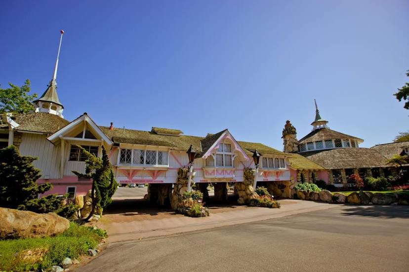
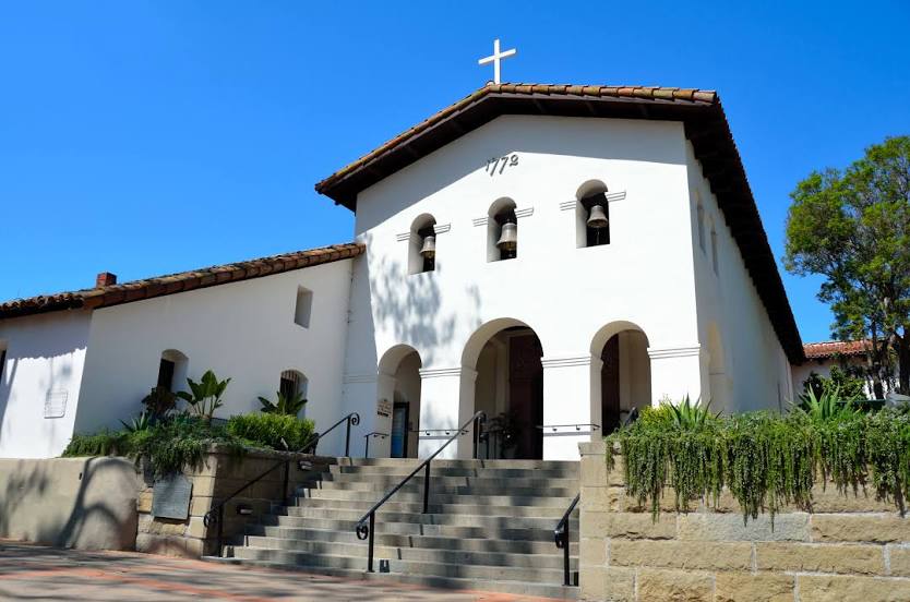
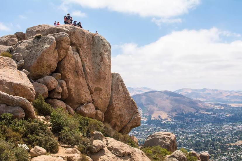
Santa Maria — San Luis Obispo distance, route on the map
Distance by car
Distance between Santa Maria, California, United States and San Luis Obispo, California, United States by car is — km, or miles. To travel this distance by car, you need minute, or h.
Route on the map, driving directions
Car route Santa Maria — San Luis Obispo was created automatically. The road on the map is shown as a blue line. By moving the markers, you can create a new route through the points you need.
Distance by plane
If you decide to take a trip Santa Maria San Luis Obispo by plane, then you have to fly the distance — 42 km or 26 miles. It is marked on the map with a gray line (between two points in a straight line).
Flight time
Estimated flight time Santa Maria San Luis Obispo by plane at cruising speed 750 km / h will be — 3 min.
Direction of movement
United States, Santa Maria — right-hand traffic. United States, San Luis Obispo — right-hand traffic.
Difference in time
Santa Maria and San Luis Obispo are in the same time zone. Between them there is no time difference (UTC -7 America/Los_Angeles).
Interesting Facts
Information on alternative ways to get to your destination.
The length of this distance is about 0.1% of the total length of the equator.
The percentage of the population is clearly shown in the graph:
Santa Maria — 85,480, San Luis Obispo — 44,132 residents (less by 41,348).
The cost of travel
Calculate the cost of the trip yourself using the fuel consumption calculator, changing the data in the table.