Niagara Falls — Guilford
Niagara Falls — Gloucester City
Niagara Falls — Oriskany Falls
Niagara Falls — Gans
Niagara Falls — Fairmont
Niagara Falls — Adrian
Niagara Falls — Menlo
Niagara Falls — Alameda County
Niagara Falls — Schofield
Niagara Falls — Marble Rock
Niagara Falls — Wynnewood
Niagara Falls — Peconic
Niagara Falls — Dunlap
Niagara Falls — Campobello
Niagara Falls — Killen
Niagara Falls — Glenelg
Niagara Falls — Fayetteville
Niagara Falls — Athol
Niagara Falls — Huntington Park
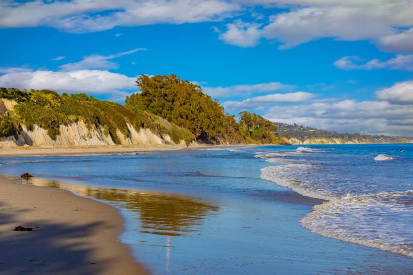
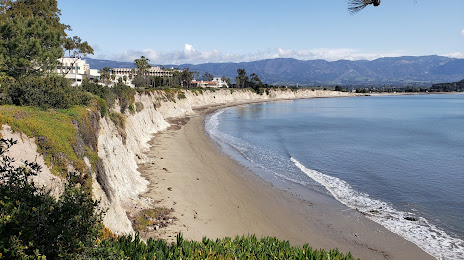
Niagara Falls — Isla Vista distance, route on the map
Distance by car
Distance between Niagara Falls, New York, United States and Isla Vista, California, United States by car is — km, or miles. To travel this distance by car, you need minute, or h.
Route on the map, driving directions
Car route Niagara Falls — Isla Vista was created automatically. The road on the map is shown as a blue line. By moving the markers, you can create a new route through the points you need.
Distance by plane
If you decide to take a trip Niagara Falls Isla Vista by plane, then you have to fly the distance — 3630 km or 2251 miles. It is marked on the map with a gray line (between two points in a straight line).
Flight time
Estimated flight time Niagara Falls Isla Vista by plane at cruising speed 750 km / h will be — 4 h. and 50 min.
Direction of movement
United States, Niagara Falls — right-hand traffic. United States, Isla Vista — right-hand traffic.
Difference in time
Niagara Falls and Isla Vista are in different time zones. The time difference is 3 hours (UTC -4 America/Toronto, UTC -7 America/Los_Angeles).
Interesting Facts
Information on alternative ways to get to your destination.
The length of this distance is about 9.1% of the total length of the equator.
The percentage of the population is clearly shown in the graph:
Niagara Falls — 53,054, Isla Vista — 23,096 residents (less by 29,958).
The cost of travel
Calculate the cost of the trip yourself using the fuel consumption calculator, changing the data in the table.