Westlake Village — Southbridge
Westlake Village — Cranberry
Westlake Village — Gassville
Westlake Village — Millport
Westlake Village — Beach Haven
Westlake Village — Independence
Westlake Village — El Paso International Airport
Westlake Village — Lucerne
Westlake Village — Becket
Westlake Village — North Olmsted
Westlake Village — Marlboro Township
Westlake Village — Ridgeland
Westlake Village — Olympia
Westlake Village — Creston
Westlake Village — Waynesboro
Westlake Village — Hempstead County
Westlake Village — Lochgelly
Westlake Village — Wichita Falls
Westlake Village — Swan Valley
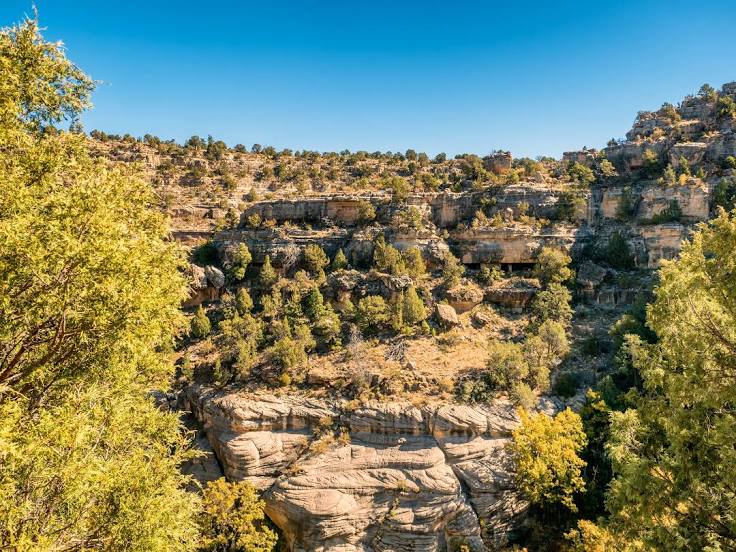
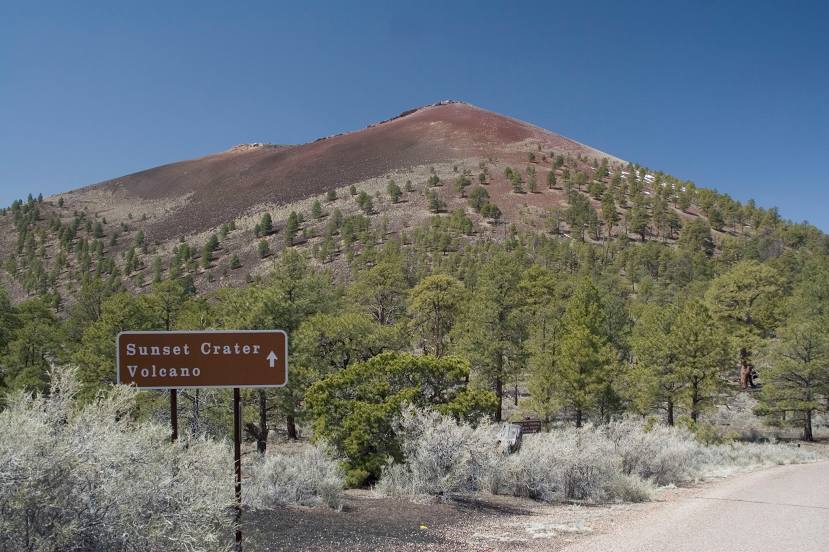
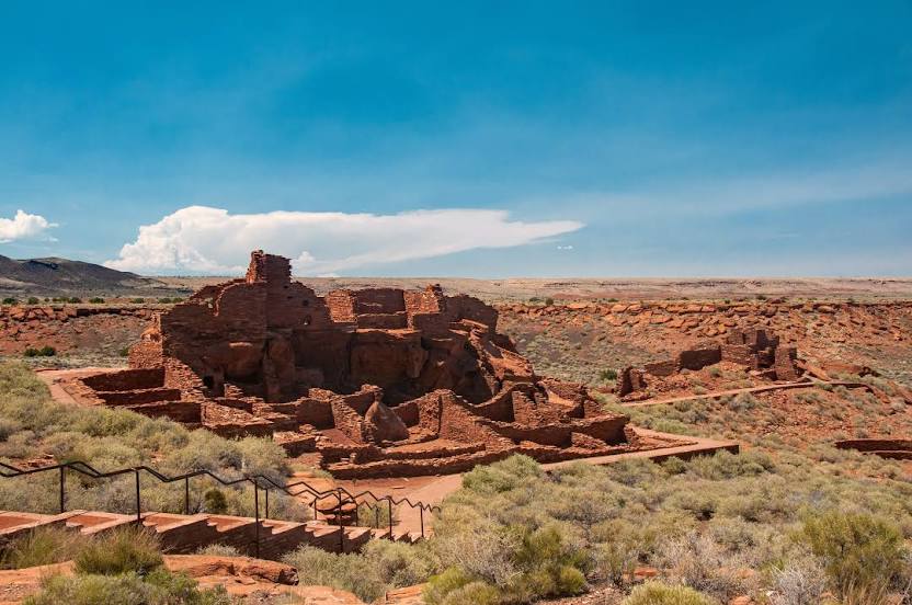
Westlake Village — Flagstaff distance, route on the map
Distance by car
Distance between Westlake Village, California, United States and Flagstaff, Arizona, United States by car is — km, or miles. To travel this distance by car, you need minute, or h.
Route on the map, driving directions
Car route Westlake Village — Flagstaff was created automatically. The road on the map is shown as a blue line. By moving the markers, you can create a new route through the points you need.
Distance by plane
If you decide to take a trip Westlake Village Flagstaff by plane, then you have to fly the distance — 665 km or 412 miles. It is marked on the map with a gray line (between two points in a straight line).
Flight time
Estimated flight time Westlake Village Flagstaff by plane at cruising speed 750 km / h will be — 53 min.
Direction of movement
United States, Westlake Village — right-hand traffic. United States, Flagstaff — right-hand traffic.
Difference in time
Westlake Village and Flagstaff are in the same time zone. Between them there is no time difference (UTC -7 America/Los_Angeles).
Interesting Facts
Information on alternative ways to get to your destination.
The length of this distance is about 1.7% of the total length of the equator.
The percentage of the population is clearly shown in the graph:
Westlake Village — 8,663 (less by 48,903), Flagstaff — 57,566 residents.
The cost of travel
Calculate the cost of the trip yourself using the fuel consumption calculator, changing the data in the table.