Ried im Innkreis — Hitzendorf
Ried im Innkreis — Lower Austria
Ried im Innkreis — Mauthen
Ried im Innkreis — Zirkitzen
Ried im Innkreis — Knasweg
Ried im Innkreis — Hallein
Ried im Innkreis — Marbach im Felde
Ried im Innkreis — Wörgl
Ried im Innkreis — Obergallsbach
Ried im Innkreis — Passail
Ried im Innkreis — Kleinwiesendorf
Ried im Innkreis — Steinaweg
Ried im Innkreis — Schäffern
Ried im Innkreis — Nadelbach
Ried im Innkreis — Ransdorf
Ried im Innkreis — Riemetschlag
Ried im Innkreis — Rubmannsberg
Ried im Innkreis — Sulzbach
Ried im Innkreis — Schauerschlag
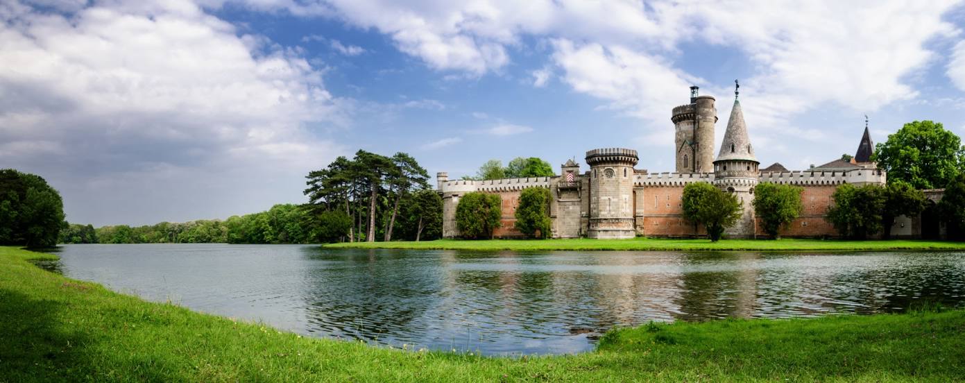
Ried im Innkreis — Perchtoldsdorf distance, route on the map
Distance by car
Distance between Ried im Innkreis, Upper Austria, Austria and Perchtoldsdorf, Lower Austria, Austria by car is — km, or miles. To travel this distance by car, you need minute, or h.
Route on the map, driving directions
Car route Ried im Innkreis — Perchtoldsdorf was created automatically. The road on the map is shown as a blue line. By moving the markers, you can create a new route through the points you need.
Distance by plane
If you decide to take a trip Ried im Innkreis Perchtoldsdorf by plane, then you have to fly the distance — 206 km or 128 miles. It is marked on the map with a gray line (between two points in a straight line).
Flight time
Estimated flight time Ried im Innkreis Perchtoldsdorf by plane at cruising speed 750 km / h will be — 16 min.
Direction of movement
Austria, Ried im Innkreis — right-hand traffic. Austria, Perchtoldsdorf — right-hand traffic.
Difference in time
Ried im Innkreis and Perchtoldsdorf are in the same time zone. Between them there is no time difference (UTC +2 Europe/Vienna).
Interesting Facts
Information on alternative ways to get to your destination.
The length of this distance is about 0.5% of the total length of the equator.
The percentage of the population is clearly shown in the graph:
Ried im Innkreis — 11,511 (less by 2,530), Perchtoldsdorf — 14,041 residents.
The cost of travel
Calculate the cost of the trip yourself using the fuel consumption calculator, changing the data in the table.