North Las Vegas — Inkster
North Las Vegas — Pleasantville
North Las Vegas — Mayview
North Las Vegas — Russell
North Las Vegas — Macon
North Las Vegas — Rison
North Las Vegas — Markham
North Las Vegas — Ramal
North Las Vegas — Lynchburg
North Las Vegas — Tollhouse
North Las Vegas — Westmont
North Las Vegas — Hillsville
North Las Vegas — Stockholm
North Las Vegas — Hayden
North Las Vegas — Shorey
North Las Vegas — Rush Valley
North Las Vegas — Mount Airy
North Las Vegas — Dexter
North Las Vegas — Zanoni
Las Vegas
Las Vegas
McCarran International Airport
Jean Airport
Primm
Baker Airport
Yermo
Daggett
Barstow
Hutt
Oro Grande
Victorville
Hesperia
Cajon Junction
Lytle Creek
Fontana
Rancho Cucamonga
Upland
Upland
Claremont
San Dimas
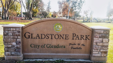
North Las Vegas — Glendora distance, route on the map
Distance by car
Distance between North Las Vegas, Nevada, United States and Glendora, California, United States by car is — km, or miles. To travel this distance by car, you need minute, or h.
Route on the map, driving directions
Car route North Las Vegas — Glendora was created automatically. The road on the map is shown as a blue line. By moving the markers, you can create a new route through the points you need.
Passing cities through which the car route passes: Las Vegas, Las Vegas, Las Vegas, McCarran International Airport, Jean Airport, Primm, Baker Airport, Yermo, Daggett, Barstow, Hutt, Oro Grande, Victorville, Hesperia, Cajon Junction, Lytle Creek, Fontana, Rancho Cucamonga, Upland, Upland, Claremont, San Dimas.
Distance by plane
If you decide to take a trip North Las Vegas Glendora by plane, then you have to fly the distance — 339 km or 210 miles. It is marked on the map with a gray line (between two points in a straight line).
Flight time
Estimated flight time North Las Vegas Glendora by plane at cruising speed 750 km / h will be — 27 min.
Direction of movement
United States, North Las Vegas — right-hand traffic. United States, Glendora — right-hand traffic.
Difference in time
North Las Vegas and Glendora are in the same time zone. Between them there is no time difference (UTC -7 America/Los_Angeles).
Interesting Facts
Information on alternative ways to get to your destination.
The length of this distance is about 0.8% of the total length of the equator.
The percentage of the population is clearly shown in the graph:
North Las Vegas — 165,416, Glendora — 51,541 residents (less by 113,875).
The cost of travel
Calculate the cost of the trip yourself using the fuel consumption calculator, changing the data in the table.