
 Newport
Klamath Falls
Linton
Mohave Valley
Mayville
Wisner
Tucker
Washington
Choudrant
De Pere
Los Altos
Shelbyville
Carbondale
Terre Haute
Redwood City
Carlyle
Robinson
Temple
Newark
Newport
Klamath Falls
Linton
Mohave Valley
Mayville
Wisner
Tucker
Washington
Choudrant
De Pere
Los Altos
Shelbyville
Carbondale
Terre Haute
Redwood City
Carlyle
Robinson
Temple
Newark
Connersville on the map, United States
Where is located Connersville
Exact location — Connersville, Fayette County, Indiana, United States, marked on the map with a red marker.
Coordinates
Connersville, United States coordinates in decimal format: latitude — 39.6411589, longitude — -85.1410748. When converted to degrees, minutes, seconds Connersville has the following coordinates: 39°38′28.17 north latitude and -85°8′27.87 east longitude.
Population
Connersville, Fayette County, Indiana, United States, according to our data the population is — 14,436 residents, which is about 0% of the total population of the country (United States).
Comparison of the population on the graph:
Exact time
Time zone for this location Connersville — UTC -4 America/New_York. Exact time — tuesday, 5 may 2024 year, 22 h. 23 minutes.
Sunrise and sunset
Connersville, sunrise and sunset data for a date — tuesday 14.05.2024.
| Sunrise | Sunset | Day (duration) |
|---|---|---|
| 06:29 -1 minute | 20:44 +1 minute | 14 h. 18 minutes. +2 minutes |
You can control the scale of the map using the auxiliary tools to find out exactly where it is located Connersville. When you change the scale of the map, the width of the ruler also changes (in kilometers and miles).
Nearby cities
The largest cities that are located nearby:
- Cincinnati — 80 km
- Indianapolis — 88 km
- Springfield — 117 km
- Fort Wayne — 159 km
- Louisville — 163 km
- Columbus — 185 km
- South Bend — 243 km
- Toledo — 259 km
- Evansville — 281 km
- Ann Arbor — 313 km
- Joliet — 320 km
- Chicago — 321 km
- Naperville — 341 km
- Akron — 341 km
- Windsor
 (Canada) — 342 km
 - Detroit — 343 km
- Lansing — 345 km
- Aurora — 352 km
- Cleveland — 352 km
Distance to neighboring capitals:
- Ottawa (Canada) — 1005 km
- Belmopan
 (Belize) — 2515 km
 - Mexico City
 (Mexico) — 2616 km
 - Guatemala City
 (Guatemala) — 2833 km
 - Nuuk
 (Greenland) — 3483 km
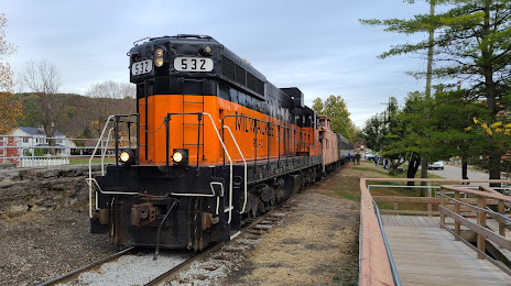
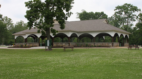
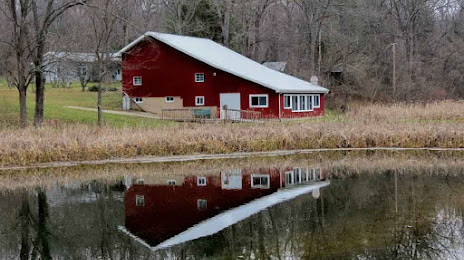
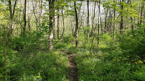
Attractions
Distance to the capital
Distance to the capital (Washington) is about — 702 km.