Riverside — Washta
Riverside — Nickerson
Riverside — Togo
Riverside — Houghton Lake
Riverside — Oakdale
Riverside — Whitefish Point
Riverside — McGraw
Riverside — Dillsboro
Riverside — Southgate
Riverside — Mount Vernon
Riverside — Tarrant County
Riverside — Dayton
Riverside — Bastrop
Riverside — Cloverdale
Riverside — Friedens
Riverside — Keiser
Riverside — Wellsville
Riverside — Lake City
Riverside — Addis
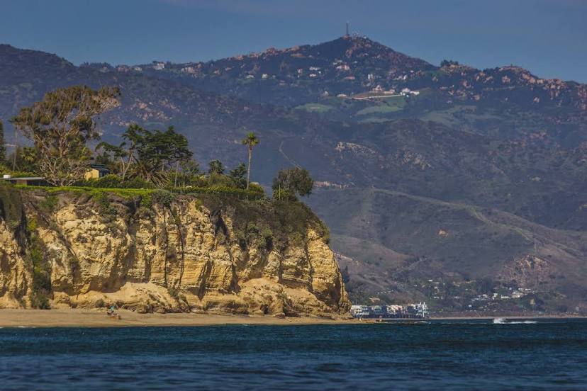
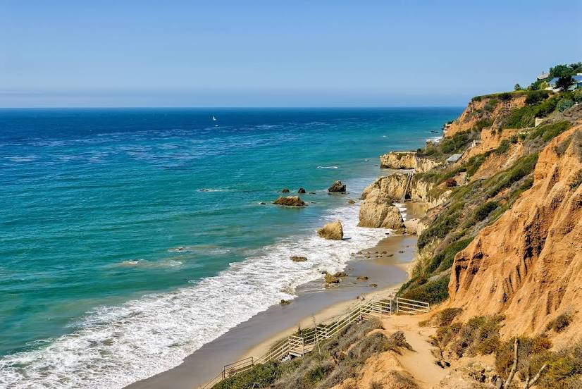
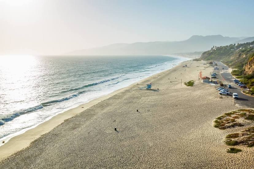
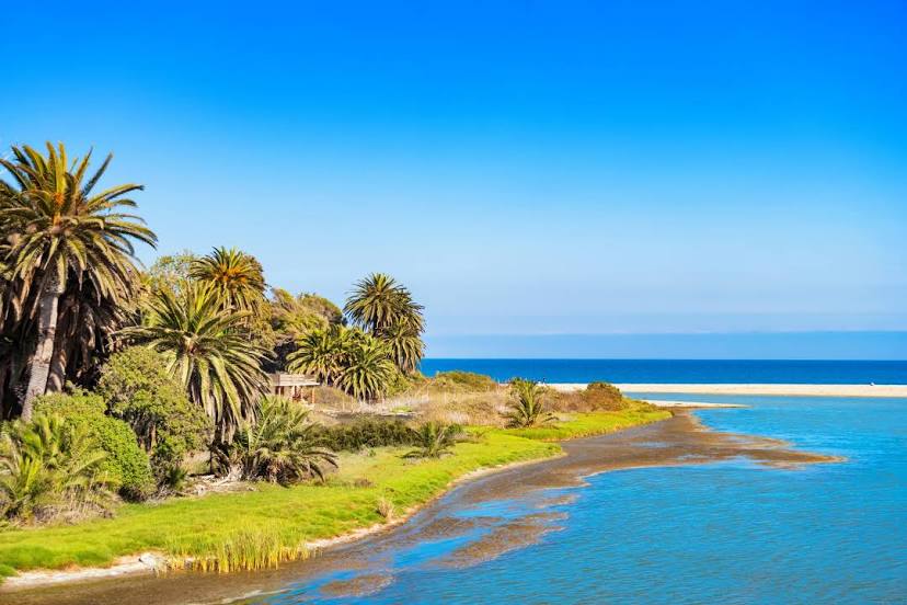
Riverside — Malibu distance, route on the map
Distance by car
Distance between Riverside, California, United States and Malibu, California, United States by car is — km, or miles. To travel this distance by car, you need minute, or h.
Route on the map, driving directions
Car route Riverside — Malibu was created automatically. The road on the map is shown as a blue line. By moving the markers, you can create a new route through the points you need.
Distance by plane
If you decide to take a trip Riverside Malibu by plane, then you have to fly the distance — 128 km or 79 miles. It is marked on the map with a gray line (between two points in a straight line).
Flight time
Estimated flight time Riverside Malibu by plane at cruising speed 750 km / h will be — 10 min.
Direction of movement
United States, Riverside — right-hand traffic. United States, Malibu — right-hand traffic.
Difference in time
Riverside and Malibu are in the same time zone. Between them there is no time difference (UTC -7 America/Los_Angeles).
Interesting Facts
Information on alternative ways to get to your destination.
The length of this distance is about 0.3% of the total length of the equator.
The percentage of the population is clearly shown in the graph:
Riverside — 303,871, Malibu — 13,769 residents (less by 290,102).
The cost of travel
Calculate the cost of the trip yourself using the fuel consumption calculator, changing the data in the table.