West Yellowstone — Osnabrock
West Yellowstone — Sandown
West Yellowstone — Caro
West Yellowstone — Garita
West Yellowstone — Glenford
West Yellowstone — Witts Springs
West Yellowstone — Pampa
West Yellowstone — Perma
West Yellowstone — Summitville
West Yellowstone — Saint Mary
West Yellowstone — Rulo
West Yellowstone — Collettsville
West Yellowstone — Latimer
West Yellowstone — Montauk
West Yellowstone — Chicago
West Yellowstone — Falls of Rough
West Yellowstone — Citronelle
West Yellowstone — Birnamwood
West Yellowstone — Raso
Teton
Sugar City
Rexburg
Rigby
Ucon
Idaho Falls
Shelley
Blackfoot
Fort Hall
Pocatello
Power County
Travers
Burley
Hazelton
Kimberly
Twin Falls
Jackpot
Wells
Halleck
Elko
Carlin
Battle Mountain
Winnemucca
Imlay
Lovelock
Fernley
Sparks
Reno
Floriston
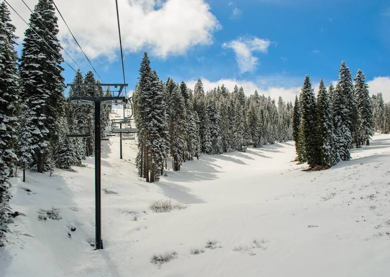
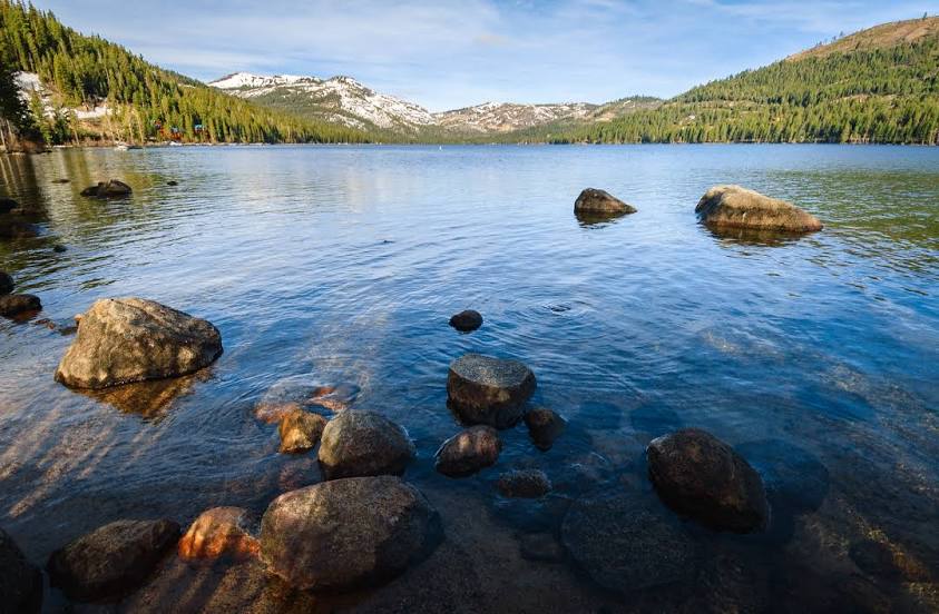
West Yellowstone — Truckee distance, route on the map
Distance by car
Distance between West Yellowstone, Montana, United States and Truckee, California, United States by car is — km, or miles. To travel this distance by car, you need minute, or h.
Route on the map, driving directions
Car route West Yellowstone — Truckee was created automatically. The road on the map is shown as a blue line. By moving the markers, you can create a new route through the points you need.
Passing cities through which the car route passes: Ashton, Teton, Sugar City, Rexburg, Rigby, Ucon, Idaho Falls, Shelley, Blackfoot, Fort Hall, Pocatello, Power County, Travers, Burley, Hazelton, Kimberly, Twin Falls, Jackpot, Wells, Halleck, Elko, Carlin, Battle Mountain, Winnemucca, Imlay, Lovelock, Fernley, Sparks, Reno, Floriston.
Distance by plane
If you decide to take a trip West Yellowstone Truckee by plane, then you have to fly the distance — 956 km or 593 miles. It is marked on the map with a gray line (between two points in a straight line).
Flight time
Estimated flight time West Yellowstone Truckee by plane at cruising speed 750 km / h will be — 1 h. and 16 min.
Direction of movement
United States, West Yellowstone — right-hand traffic. United States, Truckee — right-hand traffic.
Difference in time
West Yellowstone and Truckee are in different time zones. The time difference is 1 hour (UTC -6 America/Denver, UTC -7 America/Los_Angeles).
Interesting Facts
Information on alternative ways to get to your destination.
The length of this distance is about 2.4% of the total length of the equator.
The percentage of the population is clearly shown in the graph:
West Yellowstone — 1,244 (less by 14,527), Truckee — 15,771 residents.
The cost of travel
Calculate the cost of the trip yourself using the fuel consumption calculator, changing the data in the table.