
 Maitland
Lehi
West Jordan
Hartford
Lake Forest
Wallsburg
Plainwell
Arnold
American Fork
Manchester
Jacksonville Beach
Brierfield
Taneytown
Sykesville
Ocean City
Saint Anthony
Laguna Beach
Aberdeen
Edgewater
Maitland
Lehi
West Jordan
Hartford
Lake Forest
Wallsburg
Plainwell
Arnold
American Fork
Manchester
Jacksonville Beach
Brierfield
Taneytown
Sykesville
Ocean City
Saint Anthony
Laguna Beach
Aberdeen
Edgewater
Methuen on the map, United States
Where is located Methuen
Exact location — Methuen, Essex County, Massachusetts, United States, marked on the map with a red marker.
Coordinates
Methuen, United States coordinates in decimal format: latitude — 42.7262016, longitude — -71.1908924. When converted to degrees, minutes, seconds Methuen has the following coordinates: 42°43′34.33 north latitude and -71°11′27.21 east longitude.
Population
Methuen, Essex County, Massachusetts, United States, according to our data the population is — 45,372 residents, which is about 0% of the total population of the country (United States).
Comparison of the population on the graph:
Exact time
Time zone for this location Methuen — UTC -4 America/New_York. Exact time — thursday, 5 may 2024 year, 19 h. 19 minutes.
Sunrise and sunset
Methuen, sunrise and sunset data for a date — thursday 9.05.2024.
| Sunrise | Sunset | Day (duration) |
|---|---|---|
| 05:31 -1 minute | 19:50 +1 minute | 14 h. 18 minutes. +2 minutes |
You can control the scale of the map using the auxiliary tools to find out exactly where it is located Methuen. When you change the scale of the map, the width of the ruler also changes (in kilometers and miles).
Nearby cities
The largest cities that are located nearby:
- Lowell — 14 km
- Manchester — 37 km
- Cambridge — 40 km
- Boston — 42 km
- Worcester — 72 km
- Providence — 101 km
- Amherst — 115 km
- Springfield — 134 km
- Hartford — 163 km
- Waterbury — 201 km
- New Haven — 213 km
- Bridgeport — 238 km
- Stamford — 269 km
- Sherbrooke
 (Canada) — 301 km
 - Yonkers — 301 km
- Paterson — 319 km
- New York — 324 km
- Brooklyn — 325 km
- Newark — 333 km
Distance to neighboring capitals:
- Ottawa (Canada) — 468 km
- Nuuk
 (Greenland) — 2686 km
 - Belmopan
 (Belize) — 3285 km
 - Guatemala City
 (Guatemala) — 3633 km
 - Mexico City
 (Mexico) — 3681 km
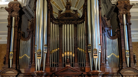
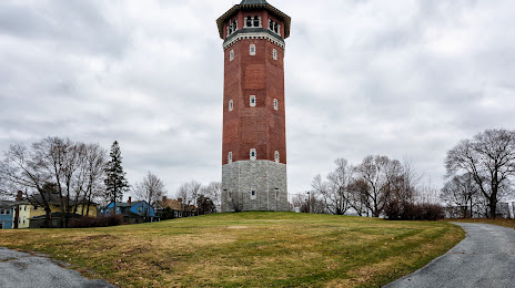
Attractions


Distance to the capital
Distance to the capital (Washington) is about — 650 km.