Saint Charles — Zavala County
Saint Charles — Nora
Saint Charles — Mike
Saint Charles — Shoshone
Saint Charles — Chariton
Saint Charles — Annapolis
Saint Charles — Roseboom
Saint Charles — Sugarloaf
Saint Charles — Owasso
Saint Charles — Kodiak Island
Saint Charles — Centreville
Saint Charles — Kenilworth
Saint Charles — McDonough
Saint Charles — Casper
Saint Charles — Alba
Saint Charles — Bruno
Saint Charles — Slana
Saint Charles — Kwethluk Airport
Saint Charles — North Highlands
O'Fallon
Lake Saint Louis
Wentzville
Foristell
Wright City
Truesdale
Warrenton
Jonesburg
New Florence
Kingdom City
Columbia
Rocheport
Lamine Township
Blackwater
Sweet Springs
Emma
Mayview
Bates City
Grain Valley
Blue Springs
Independence
Independence
Independence
North Kansas City
Gladstone
Clay County
Kansas City
Kansas City International Airport
Kansas City International Airport
Platte City
Camden Point
Faucett
Buchanan County
St. Joseph
Amazonia
Rock Port
Nebraska City
Dallas
Otoe
Syracuse
Palmyra
Lincoln
Lincoln
Pleasant Dale
Beaver Crossing
York
Aurora
Giltner
Alda
Gibbon
Kearney
Lexington
Cozad
Gothenburg
North Platte
Hershey
Ogallala
Julesburg
Chappell
Lodgepole
Kimball
Cheyenne
Laramie
Elk Mountain
Sinclair
Rawlins
Rock Springs
Lyman
Fort Bridger
Coalville
Park City
Holladay
Salt Lake City
Salt Lake City
Red Lion-Sheraton Hotel Heliport
Magna
Wendover
West Wendover
Wells
Halleck
Elko
Carlin
Battle Mountain
Winnemucca
Imlay
Lovelock
Fernley
Sparks
Reno
Floriston
Truckee
Eder
Norden
Soda Springs
Gold Run
Cape Horn
Colfax
Weimar
Meadow Vista
Auburn
Newcastle
Rocklin
Roseville
Citrus Heights
North Highlands
Sacramento
West Sacramento
Davis
Dixon
Vacaville
Fairfield
Suval
Benicia
Martinez
Pacheco
Pleasant Hill
Walnut Creek
Alamo
Danville
San Ramon
Dublin
Pleasanton
Sunol
Fremont
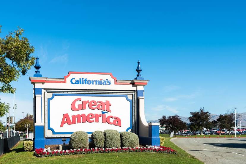
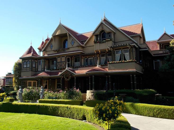
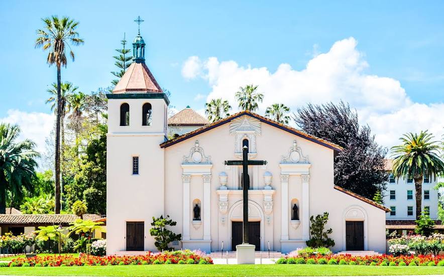
Milpitas
Terminal A
Saint Charles — Zavala County
Saint Charles — Nora
Saint Charles — Mike
Saint Charles — Shoshone
Saint Charles — Chariton
Saint Charles — Annapolis
Saint Charles — Roseboom
Saint Charles — Sugarloaf
Saint Charles — Owasso
Saint Charles — Kodiak Island
Saint Charles — Centreville
Saint Charles — Kenilworth
Saint Charles — McDonough
Saint Charles — Casper
Saint Charles — Alba
Saint Charles — Bruno
Saint Charles — Slana
Saint Charles — Kwethluk Airport
Saint Charles — North Highlands
O'Fallon
Lake Saint Louis
Wentzville
Foristell
Wright City
Truesdale
Warrenton
Jonesburg
New Florence
Kingdom City
Columbia
Rocheport
Lamine Township
Blackwater
Sweet Springs
Emma
Mayview
Bates City
Grain Valley
Blue Springs
Independence
Independence
Independence
North Kansas City
Gladstone
Clay County
Kansas City
Kansas City International Airport
Kansas City International Airport
Platte City
Camden Point
Faucett
Buchanan County
St. Joseph
Amazonia
Rock Port
Nebraska City
Dallas
Otoe
Syracuse
Palmyra
Lincoln
Lincoln
Pleasant Dale
Beaver Crossing
York
Aurora
Giltner
Alda
Gibbon
Kearney
Lexington
Cozad
Gothenburg
North Platte
Hershey
Ogallala
Julesburg
Chappell
Lodgepole
Kimball
Cheyenne
Laramie
Elk Mountain
Sinclair
Rawlins
Rock Springs
Lyman
Fort Bridger
Coalville
Park City
Holladay
Salt Lake City
Salt Lake City
Red Lion-Sheraton Hotel Heliport
Magna
Wendover
West Wendover
Wells
Halleck
Elko
Carlin
Battle Mountain
Winnemucca
Imlay
Lovelock
Fernley
Sparks
Reno
Floriston
Truckee
Eder
Norden
Soda Springs
Gold Run
Cape Horn
Colfax
Weimar
Meadow Vista
Auburn
Newcastle
Rocklin
Roseville
Citrus Heights
North Highlands
Sacramento
West Sacramento
Davis
Dixon
Vacaville
Fairfield
Suval
Benicia
Martinez
Pacheco
Pleasant Hill
Walnut Creek
Alamo
Danville
San Ramon
Dublin
Pleasanton
Sunol
Fremont
Milpitas
Terminal A
Saint Charles — Santa Clara distance, route on the map
Distance by car
Distance between Saint Charles, Missouri, United States and Santa Clara, California, United States by car is — km, or miles. To travel this distance by car, you need minute, or h.
Route on the map, driving directions
Car route Saint Charles — Santa Clara was created automatically. The road on the map is shown as a blue line. By moving the markers, you can create a new route through the points you need.
Passing cities through which the car route passes: Saint Peters, O'Fallon, Lake Saint Louis, Wentzville, Foristell, Wright City, Truesdale, Warrenton, Jonesburg, New Florence, Kingdom City, Columbia, Rocheport, Lamine Township, Blackwater, Sweet Springs, Emma, Mayview, Bates City, Grain Valley, Blue Springs, Independence, Independence, Independence, North Kansas City, Gladstone, Clay County, Kansas City, Kansas City International Airport, Kansas City International Airport, Platte City, Camden Point, Faucett, Buchanan County, St. Joseph, Amazonia, Rock Port, Nebraska City, Dallas, Otoe, Syracuse, Palmyra, Lincoln, Lincoln, Pleasant Dale, Beaver Crossing, York, Aurora, Giltner, Alda, Gibbon, Kearney, Lexington, Cozad, Gothenburg, North Platte, Hershey, Ogallala, Julesburg, Chappell, Lodgepole, Kimball, Cheyenne, Laramie, Elk Mountain, Sinclair, Rawlins, Rock Springs, Lyman, Fort Bridger, Coalville, Park City, Holladay, Salt Lake City, Salt Lake City, Red Lion-Sheraton Hotel Heliport, Magna, Wendover, West Wendover, Wells, Halleck, Elko, Carlin, Battle Mountain, Winnemucca, Imlay, Lovelock, Fernley, Sparks, Reno, Floriston, Truckee, Eder, Norden, Soda Springs, Gold Run, Cape Horn, Colfax, Weimar, Meadow Vista, Auburn, Newcastle, Rocklin, Roseville, Citrus Heights, North Highlands, Sacramento, West Sacramento, Davis, Dixon, Vacaville, Fairfield, Suval, Benicia, Martinez, Pacheco, Pleasant Hill, Walnut Creek, Alamo, Danville, San Ramon, Dublin, Pleasanton, Sunol, Fremont, Milpitas, Terminal A.
Distance by plane
If you decide to take a trip Saint Charles Santa Clara by plane, then you have to fly the distance — 2746 km or 1703 miles. It is marked on the map with a gray line (between two points in a straight line).
Flight time
Estimated flight time Saint Charles Santa Clara by plane at cruising speed 750 km / h will be — 3 h. and 39 min.
Direction of movement
United States, Saint Charles — right-hand traffic. United States, Santa Clara — right-hand traffic.
Difference in time
Saint Charles and Santa Clara are in different time zones. The time difference is 2 hours (UTC -5 America/Chicago, UTC -7 America/Los_Angeles).
Interesting Facts
Information on alternative ways to get to your destination.
The length of this distance is about 6.9% of the total length of the equator.
The percentage of the population is clearly shown in the graph:
Saint Charles — 65,794 (less by 36,456), Santa Clara — 102,250 residents.
The cost of travel
Calculate the cost of the trip yourself using the fuel consumption calculator, changing the data in the table.