Fayette — Mount Pulaski
Fayette — El Paso
Fayette — Leota
Fayette — Mount Morris
Fayette — Carr
Fayette — Branson West
Fayette — Watonga
Fayette — Downing
Fayette — Peridot
Fayette — Waldron
Fayette — Franklin Park
Fayette — Boston
Fayette — Pequea
Fayette — Robertson
Fayette — Cocoa
Fayette — Torrey
Fayette — Barneston
Fayette — Stockton
Fayette — Byesville
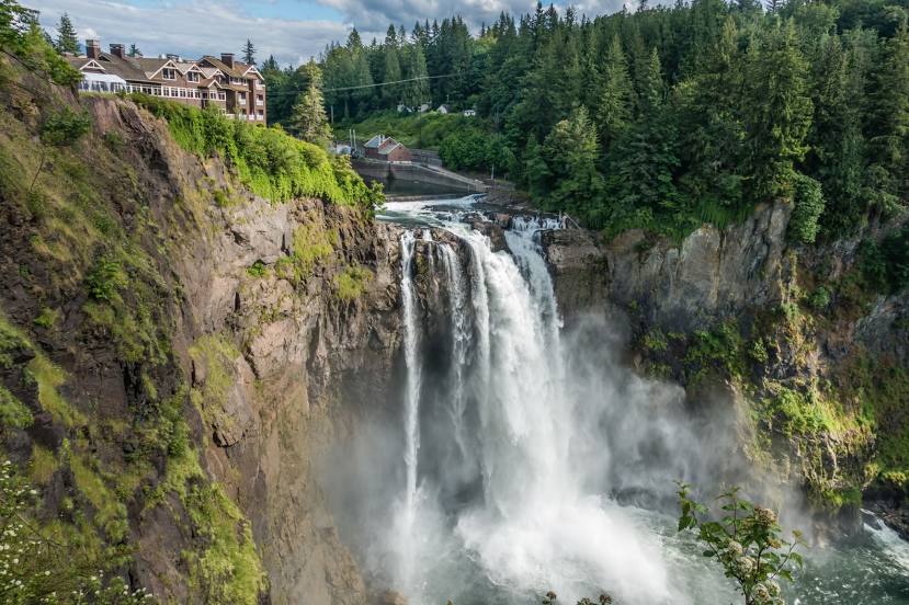
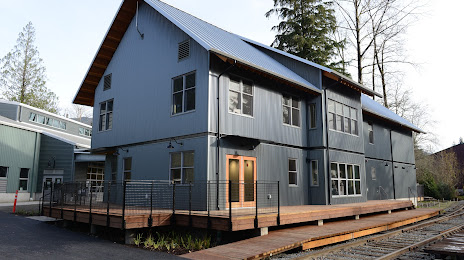
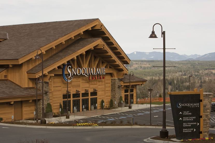
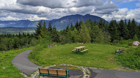
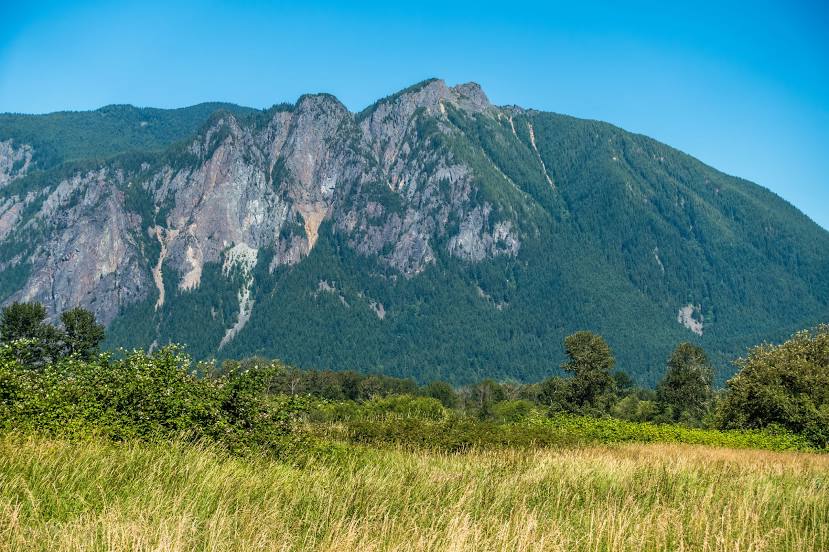
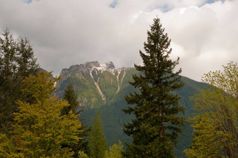
Fayette — Snoqualmie distance, route on the map
Distance by car
Distance between Fayette, Alabama, United States and Snoqualmie, Washington, United States by car is — km, or miles. To travel this distance by car, you need minute, or h.
Route on the map, driving directions
Car route Fayette — Snoqualmie was created automatically. The road on the map is shown as a blue line. By moving the markers, you can create a new route through the points you need.
Distance by plane
If you decide to take a trip Fayette Snoqualmie by plane, then you have to fly the distance — 3222 km or 1998 miles. It is marked on the map with a gray line (between two points in a straight line).
Flight time
Estimated flight time Fayette Snoqualmie by plane at cruising speed 750 km / h will be — 4 h. and 17 min.
Direction of movement
United States, Fayette — right-hand traffic. United States, Snoqualmie — right-hand traffic.
Difference in time
Fayette and Snoqualmie are in different time zones. The time difference is 2 hours (UTC -5 America/Chicago, UTC -7 America/Los_Angeles).
Interesting Facts
Information on alternative ways to get to your destination.
The length of this distance is about 8.0% of the total length of the equator.
The percentage of the population is clearly shown in the graph:
Fayette — 4,671 (less by 5,999), Snoqualmie — 10,670 residents.
The cost of travel
Calculate the cost of the trip yourself using the fuel consumption calculator, changing the data in the table.