Lomita — Belvue
Lomita — Transylvania
Lomita — Lorena
Lomita — Phelan
Lomita — Gas
Lomita — Carroll County
Lomita — Cincinnati
Lomita — Marysvale
Lomita — Smithton
Lomita — Connecticut
Lomita — Wolfe City
Lomita — Sunman
Lomita — Goshen
Lomita — Glen Allen
Lomita — Jolon
Lomita — Port Haywood
Lomita — Genoa
Lomita — Vale
Lomita — Crandall
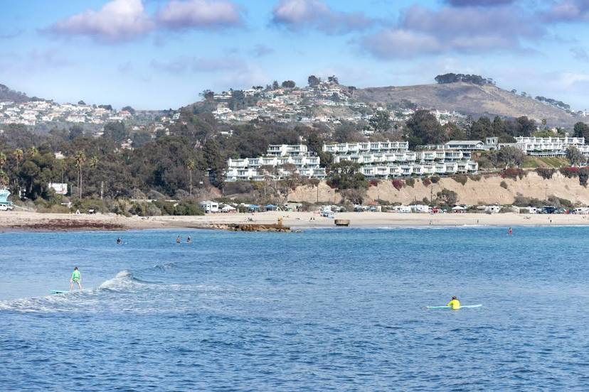
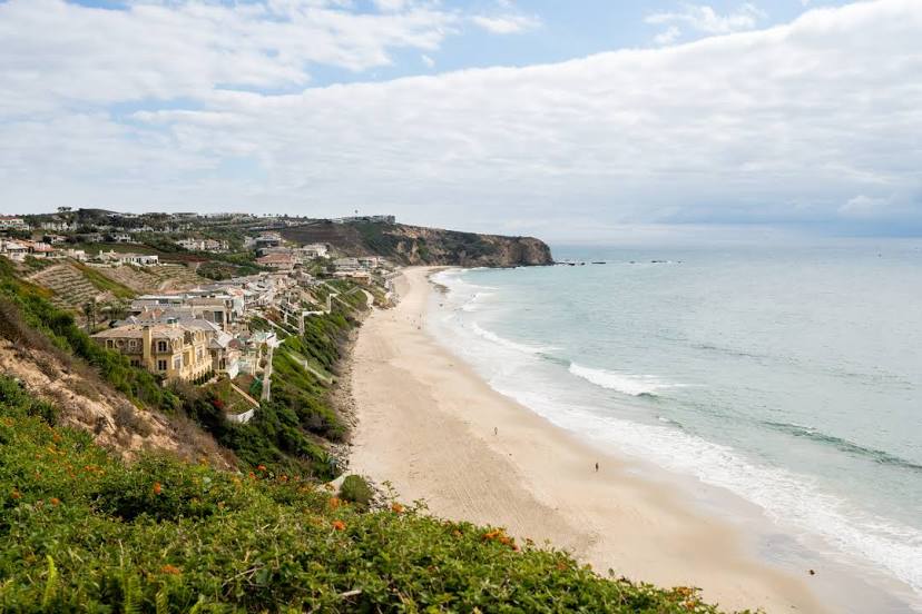
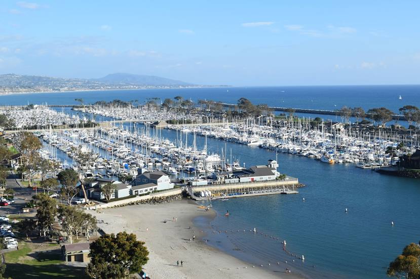
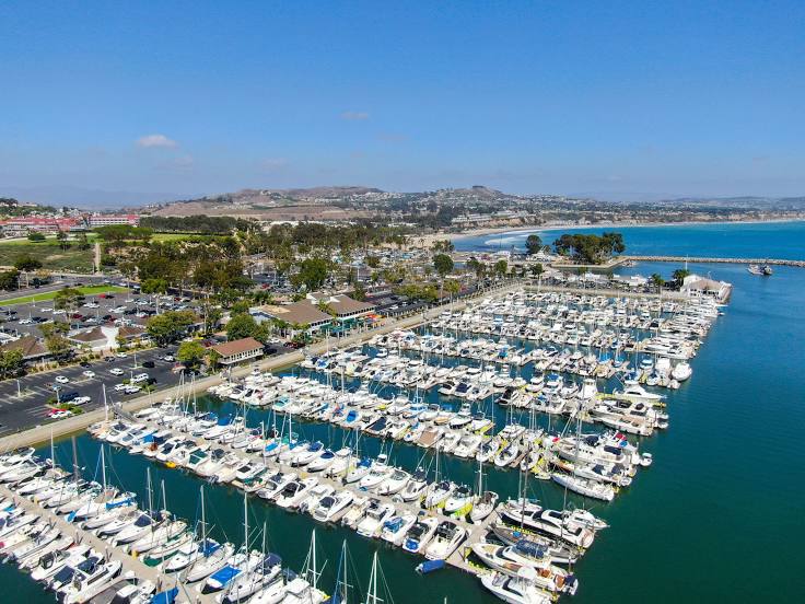
Lomita — Dana Point distance, route on the map
Distance by car
Distance between Lomita, California, United States and Dana Point, California, United States by car is — km, or miles. To travel this distance by car, you need minute, or h.
Route on the map, driving directions
Car route Lomita — Dana Point was created automatically. The road on the map is shown as a blue line. By moving the markers, you can create a new route through the points you need.
Distance by plane
If you decide to take a trip Lomita Dana Point by plane, then you have to fly the distance — 68 km or 42 miles. It is marked on the map with a gray line (between two points in a straight line).
Flight time
Estimated flight time Lomita Dana Point by plane at cruising speed 750 km / h will be — 5 min.
Direction of movement
United States, Lomita — right-hand traffic. United States, Dana Point — right-hand traffic.
Difference in time
Lomita and Dana Point are in the same time zone. Between them there is no time difference (UTC -7 America/Los_Angeles).
Interesting Facts
Information on alternative ways to get to your destination.
The length of this distance is about 0.2% of the total length of the equator.
The percentage of the population is clearly shown in the graph:
Lomita — 20,751 (less by 15,119), Dana Point — 35,870 residents.
The cost of travel
Calculate the cost of the trip yourself using the fuel consumption calculator, changing the data in the table.