Roslyn — Waterport
Roslyn — Yachats
Roslyn — Cherokee
Roslyn — Rathdrum
Roslyn — Watauga
Roslyn — Edisto Island
Roslyn — Silver Spring
Roslyn — Alexandria
Roslyn — Wausa
Roslyn — Centerport
Roslyn — Durham
Roslyn — Louis Armstrong New Orleans International Airport
Roslyn — Pinckneyville
Roslyn — Cressey
Roslyn — Tabor City
Roslyn — Thorpe
Roslyn — Larchwood
Roslyn — Malo
Roslyn — Lesterville
Great Neck
Floral Park
Bronx County
Pelham Manor
New Rochelle
Rye
Rye Brook
Greenwich
Stamford
Darien
Norwalk
Westport
Bridgeport
Stratford
Milford
Orange
West Haven
New Haven
East Haven
Branford
North Branford
Guilford
Madison
Griswold Airport
Old Saybrook
Old Lyme
East Lyme
Waterford
New London
Groton
Groton
Stonington
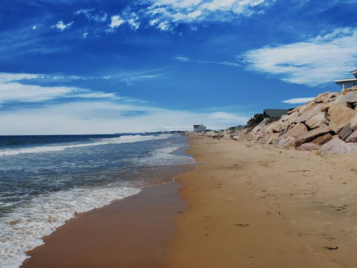
Roslyn — Westerly distance, route on the map
Distance by car
Distance between Roslyn, New York, United States and Westerly, Rhode Island, United States by car is — km, or miles. To travel this distance by car, you need minute, or h.
Route on the map, driving directions
Car route Roslyn — Westerly was created automatically. The road on the map is shown as a blue line. By moving the markers, you can create a new route through the points you need.
Passing cities through which the car route passes: Manhasset, Great Neck, Floral Park, Bronx County, Pelham Manor, New Rochelle, Rye, Rye Brook, Greenwich, Stamford, Darien, Norwalk, Westport, Bridgeport, Stratford, Milford, Orange, West Haven, New Haven, East Haven, Branford, North Branford, Guilford, Madison, Griswold Airport, Old Saybrook, Old Lyme, East Lyme, Waterford, New London, Groton, Groton, Stonington.
Distance by plane
If you decide to take a trip Roslyn Westerly by plane, then you have to fly the distance — 166 km or 103 miles. It is marked on the map with a gray line (between two points in a straight line).
Flight time
Estimated flight time Roslyn Westerly by plane at cruising speed 750 km / h will be — 13 min.
Direction of movement
United States, Roslyn — right-hand traffic. United States, Westerly — right-hand traffic.
Difference in time
Roslyn and Westerly are in the same time zone. Between them there is no time difference (UTC -4 America/New_York).
Interesting Facts
Information on alternative ways to get to your destination.
The length of this distance is about 0.4% of the total length of the equator.
The percentage of the population is clearly shown in the graph:
Roslyn — 2,604 (less by 23,444), Westerly — 26,048 residents.
The cost of travel
Calculate the cost of the trip yourself using the fuel consumption calculator, changing the data in the table.