Walterboro — Pinckney
Walterboro — Wasco
Walterboro — Maple City
Walterboro — Lawrenceville
Walterboro — Glen Rose
Walterboro — Howey-in-the-Hills
Walterboro — Lancing
Walterboro — Beaver Bay
Walterboro — Gillette
Walterboro — Medford
Walterboro — Gardner
Walterboro — Copper Mountain
Walterboro — North Truro
Walterboro — Chilhowie
Walterboro — Keewatin
Walterboro — Joshua Tree
Walterboro — Dema
Walterboro — Del Norte
Walterboro — Kenna
Hardeeville
Port Wentworth
Savannah/Hilton Head International Airport
Pooler
Richmond Hill
Riceboro
Brunswick
Kingsland
Yulee
Jacksonville International Airport
Duval County
Saint Johns
St. Augustine
St. Johns County
St. Augustine
Marineland
Palm Coast
Flagler Beach
Ormond Beach
Holly Hill
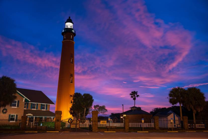
Port Orange
Volusia County
Walterboro — Pinckney
Walterboro — Wasco
Walterboro — Maple City
Walterboro — Lawrenceville
Walterboro — Glen Rose
Walterboro — Howey-in-the-Hills
Walterboro — Lancing
Walterboro — Beaver Bay
Walterboro — Gillette
Walterboro — Medford
Walterboro — Gardner
Walterboro — Copper Mountain
Walterboro — North Truro
Walterboro — Chilhowie
Walterboro — Keewatin
Walterboro — Joshua Tree
Walterboro — Dema
Walterboro — Del Norte
Walterboro — Kenna
Hardeeville
Port Wentworth
Savannah/Hilton Head International Airport
Pooler
Richmond Hill
Riceboro
Brunswick
Kingsland
Yulee
Jacksonville International Airport
Duval County
Saint Johns
St. Augustine
St. Johns County
St. Augustine
Marineland
Palm Coast
Flagler Beach
Ormond Beach
Holly Hill
Port Orange
Volusia County
Walterboro — New Smyrna Beach distance, route on the map
Distance by car
Distance between Walterboro, South Carolina, United States and New Smyrna Beach, Florida, United States by car is — km, or miles. To travel this distance by car, you need minute, or h.
Route on the map, driving directions
Car route Walterboro — New Smyrna Beach was created automatically. The road on the map is shown as a blue line. By moving the markers, you can create a new route through the points you need.
Passing cities through which the car route passes: Yemassee, Hardeeville, Port Wentworth, Savannah/Hilton Head International Airport, Pooler, Richmond Hill, Riceboro, Brunswick, Kingsland, Yulee, Jacksonville International Airport, Duval County, Saint Johns, St. Augustine, St. Johns County, St. Augustine, Marineland, Palm Coast, Flagler Beach, Ormond Beach, Holly Hill, Port Orange, Volusia County.
Distance by plane
If you decide to take a trip Walterboro New Smyrna Beach by plane, then you have to fly the distance — 432 km or 268 miles. It is marked on the map with a gray line (between two points in a straight line).
Flight time
Estimated flight time Walterboro New Smyrna Beach by plane at cruising speed 750 km / h will be — 34 min.
Direction of movement
United States, Walterboro — right-hand traffic. United States, New Smyrna Beach — right-hand traffic.
Difference in time
Walterboro and New Smyrna Beach are in the same time zone. Between them there is no time difference (UTC -4 America/New_York).
Interesting Facts
Information on alternative ways to get to your destination.
The length of this distance is about 1.1% of the total length of the equator.
The percentage of the population is clearly shown in the graph:
Walterboro — 5,447 (less by 15,787), New Smyrna Beach — 21,234 residents.
The cost of travel
Calculate the cost of the trip yourself using the fuel consumption calculator, changing the data in the table.