Rawlins — Newcomb
Rawlins — Aragon
Rawlins — Wilburton
Rawlins — Highland
Rawlins — Buhler
Rawlins — Ojai
Rawlins — Ambia
Rawlins — County Way
Rawlins — Austin-Bergstrom International Airport
Rawlins — Astoria
Rawlins — Queensbury
Rawlins — Clarks
Rawlins — Jasper
Rawlins — Caro
Rawlins — Guion
Rawlins — Boden
Rawlins — Escondido
Rawlins — Trego
Rawlins — Prosser
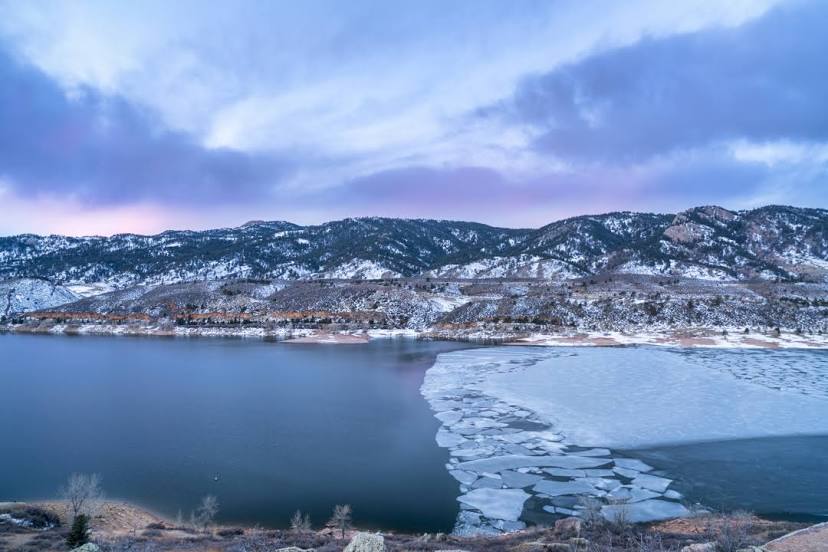
Rawlins — Fort Collins distance, route on the map
Distance by car
Distance between Rawlins, Wyoming, United States and Fort Collins, Colorado, United States by car is — km, or miles. To travel this distance by car, you need minute, or h.
Route on the map, driving directions
Car route Rawlins — Fort Collins was created automatically. The road on the map is shown as a blue line. By moving the markers, you can create a new route through the points you need.
Passing cities through which the car route passes: Sinclair, Elk Mountain, Laramie, Cheyenne, Carr.
Distance by plane
If you decide to take a trip Rawlins Fort Collins by plane, then you have to fly the distance — 225 km or 140 miles. It is marked on the map with a gray line (between two points in a straight line).
Flight time
Estimated flight time Rawlins Fort Collins by plane at cruising speed 750 km / h will be — 18 min.
Direction of movement
United States, Rawlins — right-hand traffic. United States, Fort Collins — right-hand traffic.
Difference in time
Rawlins and Fort Collins are in the same time zone. Between them there is no time difference (UTC -6 America/Denver).
Interesting Facts
Information on alternative ways to get to your destination.
The length of this distance is about 0.6% of the total length of the equator.
The percentage of the population is clearly shown in the graph:
Rawlins — 8,533 (less by 120,719), Fort Collins — 129,252 residents.
The cost of travel
Calculate the cost of the trip yourself using the fuel consumption calculator, changing the data in the table.