Hawarden — Lunenburg
Hawarden — Los Alamos
Hawarden — Alden
Hawarden — Harwinton
Hawarden — Blue Diamond
Hawarden — Folkston
Hawarden — Chowchilla
Hawarden — Allardt
Hawarden — Harlan
Hawarden — Point of Rocks
Hawarden — Saint Albans City
Hawarden — Arapahoe County
Hawarden — Ebony
Hawarden — Shepherdstown
Hawarden — Gagetown
Hawarden — Cloverdale
Hawarden — Vansant
Hawarden — Addison
Hawarden — Chincoteague Island
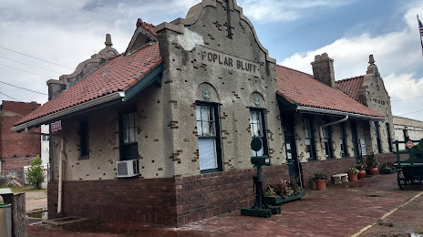
Hawarden — Poplar Bluff distance, route on the map
Distance by car
Distance between Hawarden, Iowa, United States and Poplar Bluff, Missouri, United States by car is — km, or miles. To travel this distance by car, you need minute, or h.
Route on the map, driving directions
Car route Hawarden — Poplar Bluff was created automatically. The road on the map is shown as a blue line. By moving the markers, you can create a new route through the points you need.
Distance by plane
If you decide to take a trip Hawarden Poplar Bluff by plane, then you have to fly the distance — 867 km or 538 miles. It is marked on the map with a gray line (between two points in a straight line).
Flight time
Estimated flight time Hawarden Poplar Bluff by plane at cruising speed 750 km / h will be — 1 h. and 9 min.
Direction of movement
United States, Hawarden — right-hand traffic. United States, Poplar Bluff — right-hand traffic.
Difference in time
Hawarden and Poplar Bluff are in the same time zone. Between them there is no time difference (UTC -5 America/Chicago).
Interesting Facts
Information on alternative ways to get to your destination.
The length of this distance is about 2.2% of the total length of the equator.
The percentage of the population is clearly shown in the graph:
Hawarden — 2,398 (less by 14,090), Poplar Bluff — 16,488 residents.
The cost of travel
Calculate the cost of the trip yourself using the fuel consumption calculator, changing the data in the table.