Indialantic — Kidder
Indialantic — Oxford
Indialantic — Pawnee County
Indialantic — Azusa
Indialantic — Leola
Indialantic — Ellsworth
Indialantic — Loveland
Indialantic — Mooreton
Indialantic — Wayne County
Indialantic — Bluffton
Indialantic — Petrey
Indialantic — Fancher
Indialantic — Freeport
Indialantic — Wauneta
Indialantic — Olustee
Indialantic — Enders
Indialantic — Monroe
Indialantic — Gravelly
Indialantic — Roachdale
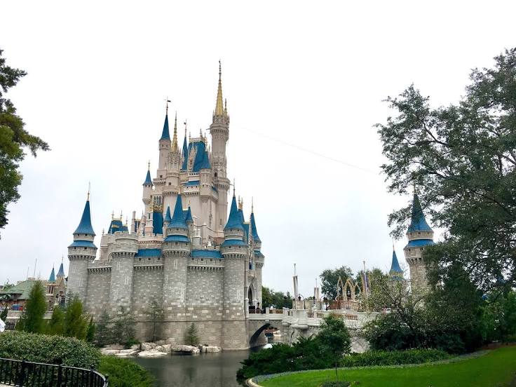
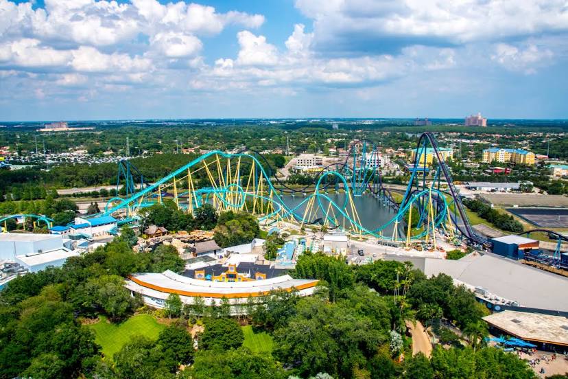
Indialantic — Orlando distance, route on the map
Distance by car
Distance between Indialantic, Florida, United States and Orlando, Florida, United States by car is — km, or miles. To travel this distance by car, you need minute, or h.
Route on the map, driving directions
Car route Indialantic — Orlando was created automatically. The road on the map is shown as a blue line. By moving the markers, you can create a new route through the points you need.
Distance by plane
If you decide to take a trip Indialantic Orlando by plane, then you have to fly the distance — 94 km or 58 miles. It is marked on the map with a gray line (between two points in a straight line).
Flight time
Estimated flight time Indialantic Orlando by plane at cruising speed 750 km / h will be — 7 min.
Direction of movement
United States, Indialantic — right-hand traffic. United States, Orlando — right-hand traffic.
Difference in time
Indialantic and Orlando are in the same time zone. Between them there is no time difference (UTC -4 America/New_York).
Interesting Facts
Information on alternative ways to get to your destination.
The length of this distance is about 0.2% of the total length of the equator.
The percentage of the population is clearly shown in the graph:
Indialantic — 2,960 (less by 205,010), Orlando — 207,970 residents.
The cost of travel
Calculate the cost of the trip yourself using the fuel consumption calculator, changing the data in the table.