Mauckport — Cave Creek
Mauckport — Jessup
Mauckport — Cadillac
Mauckport — Wales
Mauckport — Orrstown
Mauckport — San Patricio County
Mauckport — Marengo
Mauckport — Lubbock County
Mauckport — Honaker
Mauckport — Traer
Mauckport — Doe Run
Mauckport — Caroleen
Mauckport — Longville
Mauckport — Choteau
Mauckport — Oakland
Mauckport — Coronado
Mauckport — Christine
Mauckport — Elkhorn City
Mauckport — Pittsburg
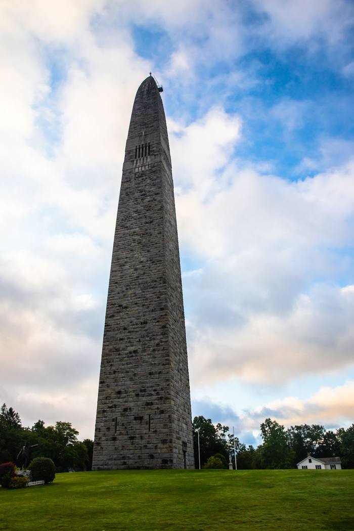
Mauckport — Bennington distance, route on the map
Distance by car
Distance between Mauckport, Indiana, United States and Bennington, Vermont, United States by car is — km, or miles. To travel this distance by car, you need minute, or h.
Route on the map, driving directions
Car route Mauckport — Bennington was created automatically. The road on the map is shown as a blue line. By moving the markers, you can create a new route through the points you need.
Distance by plane
If you decide to take a trip Mauckport Bennington by plane, then you have to fly the distance — 1224 km or 759 miles. It is marked on the map with a gray line (between two points in a straight line).
Flight time
Estimated flight time Mauckport Bennington by plane at cruising speed 750 km / h will be — 1 h. and 37 min.
Direction of movement
United States, Mauckport — right-hand traffic. United States, Bennington — right-hand traffic.
Difference in time
Mauckport and Bennington are in the same time zone. Between them there is no time difference (UTC -4 America/New_York).
Interesting Facts
Information on alternative ways to get to your destination.
The length of this distance is about 3.1% of the total length of the equator.
The percentage of the population is clearly shown in the graph:
Mauckport — 83 (less by 18,189), Bennington — 18,272 residents.
The cost of travel
Calculate the cost of the trip yourself using the fuel consumption calculator, changing the data in the table.