Pacific Grove — Soledad
Pacific Grove — Melbourne
Pacific Grove — Zada
Pacific Grove — Floydada
Pacific Grove — Larkin Charter Township
Pacific Grove — Glen Elder
Pacific Grove — Bernardston
Pacific Grove — Almont
Pacific Grove — Durham
Pacific Grove — Statenville
Pacific Grove — Kingsland
Pacific Grove — Spring Lake
Pacific Grove — Lake Junaluska
Pacific Grove — Jersey Mills
Pacific Grove — Lowell
Pacific Grove — Naranja
Pacific Grove — Comstock
Pacific Grove — Baconton
Pacific Grove — Rolfe
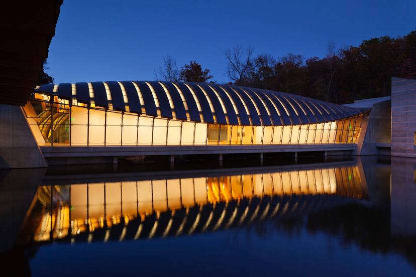
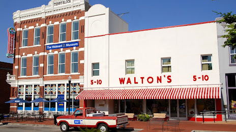
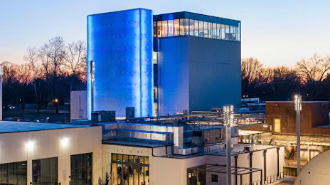
Pacific Grove — Bentonville distance, route on the map
Distance by car
Distance between Pacific Grove, California, United States and Bentonville, Arkansas, United States by car is — km, or miles. To travel this distance by car, you need minute, or h.
Route on the map, driving directions
Car route Pacific Grove — Bentonville was created automatically. The road on the map is shown as a blue line. By moving the markers, you can create a new route through the points you need.
Distance by plane
If you decide to take a trip Pacific Grove Bentonville by plane, then you have to fly the distance — 2469 km or 1531 miles. It is marked on the map with a gray line (between two points in a straight line).
Flight time
Estimated flight time Pacific Grove Bentonville by plane at cruising speed 750 km / h will be — 3 h. and 17 min.
Direction of movement
United States, Pacific Grove — right-hand traffic. United States, Bentonville — right-hand traffic.
Difference in time
Pacific Grove and Bentonville are in different time zones. The time difference is 2 hours (UTC -7 America/Los_Angeles, UTC -5 America/Chicago).
Interesting Facts
Information on alternative ways to get to your destination.
The length of this distance is about 6.2% of the total length of the equator.
The percentage of the population is clearly shown in the graph:
Pacific Grove — 15,196 (less by 16,274), Bentonville — 31,470 residents.
The cost of travel
Calculate the cost of the trip yourself using the fuel consumption calculator, changing the data in the table.