Cape Vincent — Homer City
Cape Vincent — Mystic
Cape Vincent — Lebanon
Cape Vincent — Plattekill
Cape Vincent — Gwinner
Cape Vincent — Hazelhurst
Cape Vincent — Hansville
Cape Vincent — Mount Jackson
Cape Vincent — Asheville
Cape Vincent — Darien
Cape Vincent — Tiptonville
Cape Vincent — Branford
Cape Vincent — Northville
Cape Vincent — Vacherie
Cape Vincent — Aleknagik
Cape Vincent — Wessington Springs
Cape Vincent — Erie
Cape Vincent — Port Allen
Cape Vincent — Fruithurst
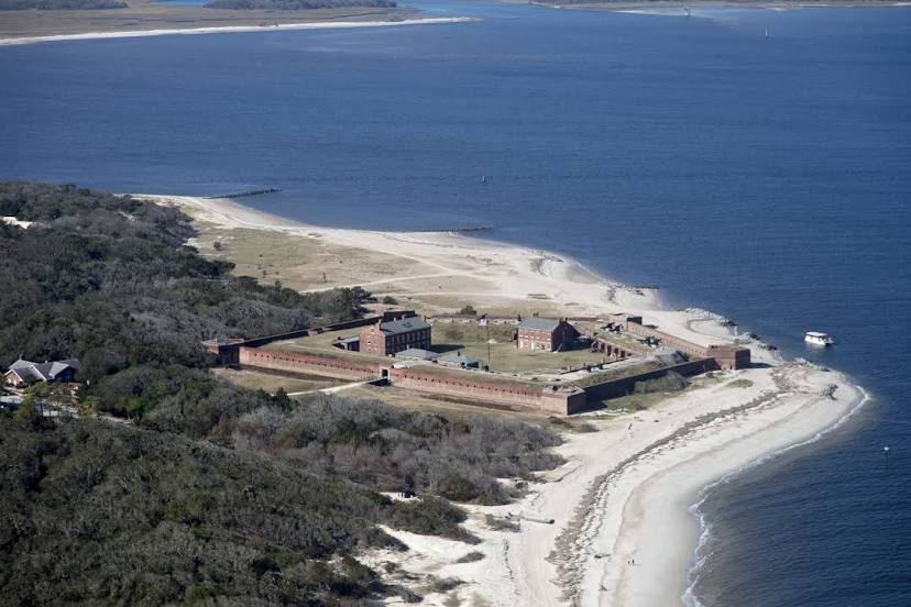
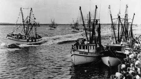
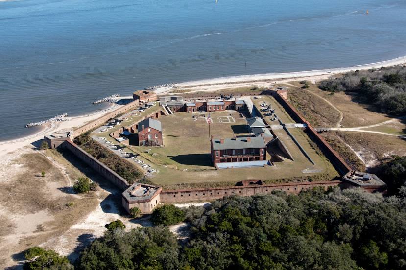
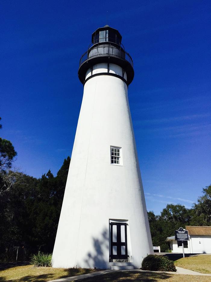
Cape Vincent — Fernandina Beach distance, route on the map
Distance by car
Distance between Cape Vincent, New York, United States and Fernandina Beach, Florida, United States by car is — km, or miles. To travel this distance by car, you need minute, or h.
Route on the map, driving directions
Car route Cape Vincent — Fernandina Beach was created automatically. The road on the map is shown as a blue line. By moving the markers, you can create a new route through the points you need.
Distance by plane
If you decide to take a trip Cape Vincent Fernandina Beach by plane, then you have to fly the distance — 1563 km or 969 miles. It is marked on the map with a gray line (between two points in a straight line).
Flight time
Estimated flight time Cape Vincent Fernandina Beach by plane at cruising speed 750 km / h will be — 2 h. and 5 min.
Direction of movement
United States, Cape Vincent — right-hand traffic. United States, Fernandina Beach — right-hand traffic.
Difference in time
Cape Vincent and Fernandina Beach are in the same time zone. Between them there is no time difference (UTC -4 America/New_York).
Interesting Facts
Information on alternative ways to get to your destination.
The length of this distance is about 3.9% of the total length of the equator.
The percentage of the population is clearly shown in the graph:
Cape Vincent — 767 (less by 10,490), Fernandina Beach — 11,257 residents.
The cost of travel
Calculate the cost of the trip yourself using the fuel consumption calculator, changing the data in the table.