Markham — Fults
Markham — Buckley
Markham — Phillipsville
Markham — North Pole
Markham — Big Lake
Markham — Sugar City
Markham — Thornhill
Markham — Vanleer
Markham — DeBary
Markham — College Grove
Markham — Nogales
Markham — Concho County
Markham — Crossnore
Markham — Coudersport
Markham — Newman's Airport-4n0
Markham — Bergland Township
Markham — Woodlake
Markham — Roscommon
Markham — Eldon
Tinley Park
Mokena
Joliet
Channahon
Minooka
Marseilles
Ottawa
Ottawa Airport
LaSalle
Seatonville
Bureau County
Wyanet
Buda
Annawan
Geneseo
Colona
East Moline
Terminal, MLI
Rock Island
Davenport
Walcott
Stockton
Iowa City
Coralville
Conroy
Ladora
Grinnell
Santiago
Bondurant
Des Moines
Windsor Heights
Clive
Waukee
Earlham
Stuart
Anita
Neola
McClelland
Council Bluffs
Omaha
Omaha
Gretna
Sarpy County
South Bend
Lincoln
Pleasant Dale
Beaver Crossing
York
Aurora
Giltner
Alda
Gibbon
Kearney
Lexington
Cozad
Gothenburg
North Platte
Hershey
Ogallala
Julesburg
Chappell
Lodgepole
Kimball
Cheyenne
Laramie
Elk Mountain
Sinclair
Rawlins
Rock Springs
Lyman
Fort Bridger
Coalville
Park City
Holladay
Red Lion-Sheraton Hotel Heliport
Salt Lake City
Magna
Wendover
West Wendover
Wells
Halleck
Elko
Carlin
Battle Mountain
Winnemucca
Imlay
Lovelock
Fernley
Sparks
Reno
Floriston
Truckee
Eder
Norden
Soda Springs
Gold Run
Cape Horn
Colfax
Weimar
Meadow Vista
Auburn
Newcastle
Rocklin
Roseville
Citrus Heights
North Highlands
Sacramento
West Sacramento
Davis
Dixon
Vacaville
Fairfield
Suval
Benicia
Martinez
Pacheco
Pleasant Hill
Walnut Creek
Alamo
Danville
San Ramon
Dublin
Pleasanton
Sunol
Fremont
Milpitas
Terminal A
Santa Clara
Fruitdale
Campbell
Los Gatos
Scotts Valley
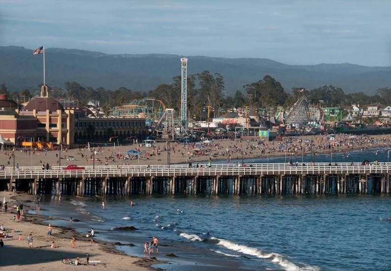
Markham — Santa Cruz distance, route on the map
Distance by car
Distance between Markham, Illinois, United States and Santa Cruz, California, United States by car is — km, or miles. To travel this distance by car, you need minute, or h.
Route on the map, driving directions
Car route Markham — Santa Cruz was created automatically. The road on the map is shown as a blue line. By moving the markers, you can create a new route through the points you need.
Passing cities through which the car route passes: Hazel Crest, Tinley Park, Mokena, Joliet, Channahon, Minooka, Marseilles, Ottawa, Ottawa Airport, LaSalle, Seatonville, Bureau County, Wyanet, Buda, Annawan, Geneseo, Colona, East Moline, Terminal, MLI, Rock Island, Davenport, Walcott, Stockton, Iowa City, Coralville, Conroy, Ladora, Grinnell, Santiago, Bondurant, Des Moines, Windsor Heights, Clive, Waukee, Earlham, Stuart, Anita, Neola, McClelland, Council Bluffs, Omaha, Omaha, Gretna, Sarpy County, South Bend, Lincoln, Pleasant Dale, Beaver Crossing, York, Aurora, Giltner, Alda, Gibbon, Kearney, Lexington, Cozad, Gothenburg, North Platte, Hershey, Ogallala, Julesburg, Chappell, Lodgepole, Kimball, Cheyenne, Laramie, Elk Mountain, Sinclair, Rawlins, Rock Springs, Lyman, Fort Bridger, Coalville, Park City, Holladay, Red Lion-Sheraton Hotel Heliport, Salt Lake City, Magna, Wendover, West Wendover, Wells, Halleck, Elko, Carlin, Battle Mountain, Winnemucca, Imlay, Lovelock, Fernley, Sparks, Reno, Floriston, Truckee, Eder, Norden, Soda Springs, Gold Run, Cape Horn, Colfax, Weimar, Meadow Vista, Auburn, Newcastle, Rocklin, Roseville, Citrus Heights, North Highlands, Sacramento, West Sacramento, Davis, Dixon, Vacaville, Fairfield, Suval, Benicia, Martinez, Pacheco, Pleasant Hill, Walnut Creek, Alamo, Danville, San Ramon, Dublin, Pleasanton, Sunol, Fremont, Milpitas, Terminal A, Santa Clara, Fruitdale, Campbell, Los Gatos, Scotts Valley.
Distance by plane
If you decide to take a trip Markham Santa Cruz by plane, then you have to fly the distance — 2980 km or 1848 miles. It is marked on the map with a gray line (between two points in a straight line).
Flight time
Estimated flight time Markham Santa Cruz by plane at cruising speed 750 km / h will be — 3 h. and 58 min.
Direction of movement
United States, Markham — right-hand traffic. United States, Santa Cruz — right-hand traffic.
Difference in time
Markham and Santa Cruz are in different time zones. The time difference is 2 hours (UTC -5 America/Chicago, UTC -7 America/Los_Angeles).
Interesting Facts
Information on alternative ways to get to your destination.
The length of this distance is about 7.4% of the total length of the equator.
The percentage of the population is clearly shown in the graph:
Markham — 12,392 (less by 42,225), Santa Cruz — 54,617 residents.
The cost of travel
Calculate the cost of the trip yourself using the fuel consumption calculator, changing the data in the table.