Lone Pine — Arion
Lone Pine — Snoqualmie
Lone Pine — Oxford Junction
Lone Pine — Manzanita
Lone Pine — Camden Point
Lone Pine — West Columbia
Lone Pine — Raymond
Lone Pine — Marseille
Lone Pine — Denio
Lone Pine — Brucetown
Lone Pine — Sylvania Airport
Lone Pine — Royston
Lone Pine — Lamont
Lone Pine — Husser
Lone Pine — Rahway
Lone Pine — Glasford
Lone Pine — Llano County
Lone Pine — Rockfield
Lone Pine — Sabillasville
Olancha
Inyokern
Randsburg
Adelanto
Cajon Junction
Lytle Creek
Rialto
San Bernardino
Colton
Loma Linda
Redlands
Calimesa
Cherry Valley
Banning
Cabazon
North Palm Springs
Lone Pine — Arion
Lone Pine — Snoqualmie
Lone Pine — Oxford Junction
Lone Pine — Manzanita
Lone Pine — Camden Point
Lone Pine — West Columbia
Lone Pine — Raymond
Lone Pine — Marseille
Lone Pine — Denio
Lone Pine — Brucetown
Lone Pine — Sylvania Airport
Lone Pine — Royston
Lone Pine — Lamont
Lone Pine — Husser
Lone Pine — Rahway
Lone Pine — Glasford
Lone Pine — Llano County
Lone Pine — Rockfield
Lone Pine — Sabillasville
Olancha
Inyokern
Randsburg
Adelanto
Cajon Junction
Lytle Creek
Rialto
San Bernardino
Colton
Loma Linda
Redlands
Calimesa
Cherry Valley
Banning
Cabazon
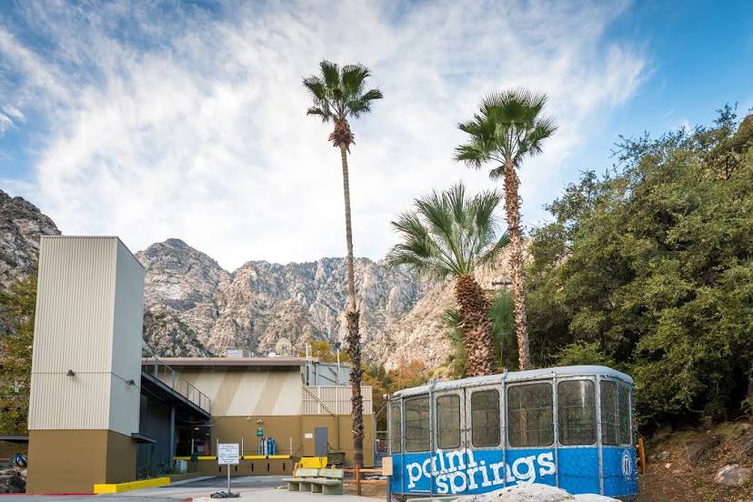
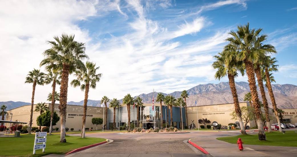
North Palm Springs
Lone Pine — Palm Springs distance, route on the map
Distance by car
Distance between Lone Pine, California, United States and Palm Springs, California, United States by car is — km, or miles. To travel this distance by car, you need minute, or h.
Route on the map, driving directions
Car route Lone Pine — Palm Springs was created automatically. The road on the map is shown as a blue line. By moving the markers, you can create a new route through the points you need.
Passing cities through which the car route passes: Cartago, Olancha, Inyokern, Randsburg, Adelanto, Cajon Junction, Lytle Creek, Rialto, San Bernardino, Colton, Loma Linda, Redlands, Calimesa, Cherry Valley, Banning, Cabazon, North Palm Springs.
Distance by plane
If you decide to take a trip Lone Pine Palm Springs by plane, then you have to fly the distance — 338 km or 210 miles. It is marked on the map with a gray line (between two points in a straight line).
Flight time
Estimated flight time Lone Pine Palm Springs by plane at cruising speed 750 km / h will be — 27 min.
Direction of movement
United States, Lone Pine — right-hand traffic. United States, Palm Springs — right-hand traffic.
Difference in time
Lone Pine and Palm Springs are in the same time zone. Between them there is no time difference (UTC -7 America/Los_Angeles).
Interesting Facts
Information on alternative ways to get to your destination.
The length of this distance is about 0.8% of the total length of the equator.
The percentage of the population is clearly shown in the graph:
Lone Pine — 1,607 (less by 45,073), Palm Springs — 46,680 residents.
The cost of travel
Calculate the cost of the trip yourself using the fuel consumption calculator, changing the data in the table.