Kalaheo — Berrien Springs
Kalaheo — Eagleville
Kalaheo — Farwell
Kalaheo — Gardenville
Kalaheo — Rosiclare
Kalaheo — Cottageville
Kalaheo — Maxville
Kalaheo — Doylestown
Kalaheo — Lemont Furnace
Kalaheo — Kenedy
Kalaheo — Larkspur
Kalaheo — Montello
Kalaheo — Fayetteville
Kalaheo — Mililani
Kalaheo — Storden
Kalaheo — Rolesville
Kalaheo — Atchison
Kalaheo — Forrest County
Kalaheo — Northcliff
Kalaheo — West Bend distance, route on the map
Distance by car
Distance between Kalaheo, Hawaii, United States and West Bend, Wisconsin, United States by car is — km, or miles. To travel this distance by car, you need minute, or h.
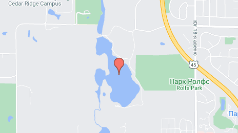
Route on the map, driving directions
Car route Kalaheo — West Bend was created automatically. The road on the map is shown as a blue line. By moving the markers, you can create a new route through the points you need.
Distance by plane
If you decide to take a trip Kalaheo West Bend by plane, then you have to fly the distance — 6876 km or 4263 miles. It is marked on the map with a gray line (between two points in a straight line).
Flight time
Estimated flight time Kalaheo West Bend by plane at cruising speed 750 km / h will be — 9 h. and 10 min.
Direction of movement
United States, Kalaheo — right-hand traffic. United States, West Bend — right-hand traffic.
Difference in time
Kalaheo and West Bend are in different time zones. The time difference is 5 hours (UTC -10 Pacific/Honolulu, UTC -5 America/Chicago).
Interesting Facts
Information on alternative ways to get to your destination.
The length of this distance is about 17.2% of the total length of the equator.
The percentage of the population is clearly shown in the graph:
Kalaheo — 4,154 (less by 25,277), West Bend — 29,431 residents.
The cost of travel
Calculate the cost of the trip yourself using the fuel consumption calculator, changing the data in the table.