Lockwood — Brick
Lockwood — Quinton
Lockwood — Argos
Lockwood — Gwinner
Lockwood — Maxeys
Lockwood — Monroe
Lockwood — Herrin
Lockwood — Canyon
Lockwood — L'Anse
Lockwood — Wolf Point
Lockwood — Turlock
Lockwood — Coaldale
Lockwood — Ismay
Lockwood — Loudon
Lockwood — Eastville
Lockwood — Minnetonka
Lockwood — Butte City
Lockwood — Wirt County
Lockwood — Sandyville
Crow Agency
Garryowen
Lodge Grass
Wyola
Parkman
Ranchester
Sheridan
Banner
Story
Buffalo
Kaycee
Casper
Glenrock
Glendo
Wheatland
Chugwater
Cheyenne
Carr
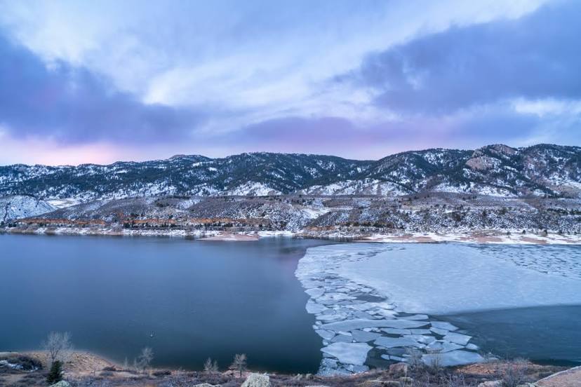
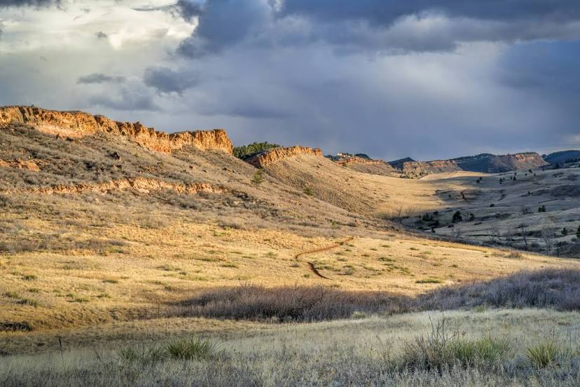
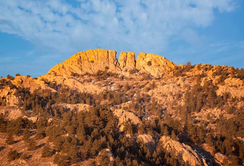
Lockwood — Fort Collins distance, route on the map
Distance by car
Distance between Lockwood, Montana, United States and Fort Collins, Colorado, United States by car is — km, or miles. To travel this distance by car, you need minute, or h.
Route on the map, driving directions
Car route Lockwood — Fort Collins was created automatically. The road on the map is shown as a blue line. By moving the markers, you can create a new route through the points you need.
Passing cities through which the car route passes: Hardin, Crow Agency, Garryowen, Lodge Grass, Wyola, Parkman, Ranchester, Sheridan, Banner, Story, Buffalo, Kaycee, Casper, Glenrock, Glendo, Wheatland, Chugwater, Cheyenne, Carr.
Distance by plane
If you decide to take a trip Lockwood Fort Collins by plane, then you have to fly the distance — 642 km or 398 miles. It is marked on the map with a gray line (between two points in a straight line).
Flight time
Estimated flight time Lockwood Fort Collins by plane at cruising speed 750 km / h will be — 51 min.
Direction of movement
United States, Lockwood — right-hand traffic. United States, Fort Collins — right-hand traffic.
Difference in time
Lockwood and Fort Collins are in the same time zone. Between them there is no time difference (UTC -6 America/Denver).
Interesting Facts
Information on alternative ways to get to your destination.
The length of this distance is about 1.6% of the total length of the equator.
The percentage of the population is clearly shown in the graph:
Lockwood — 6,797 (less by 122,455), Fort Collins — 129,252 residents.
The cost of travel
Calculate the cost of the trip yourself using the fuel consumption calculator, changing the data in the table.