
 Toro
Odolo
Caravate
Sasso Marconi
La Loggia
Arba
Fossò
Cortemaggiore
Volla
Lanzo Torinese
Settimo Torinese
Manzano
Venegono Inferiore
Brandizzo
Stezzano
San Donà di Piave
Monte Porzio Catone
Saluzzo
Cene
Toro
Odolo
Caravate
Sasso Marconi
La Loggia
Arba
Fossò
Cortemaggiore
Volla
Lanzo Torinese
Settimo Torinese
Manzano
Venegono Inferiore
Brandizzo
Stezzano
San Donà di Piave
Monte Porzio Catone
Saluzzo
Cene
Narni on the map, Italy
Where is located Narni
Exact location — Narni, Terni, Umbria, Italy, marked on the map with a red marker.
Coordinates
Narni, Italy coordinates in decimal format: latitude — 42.5176022, longitude — 12.5156299. When converted to degrees, minutes, seconds Narni has the following coordinates: 42°31′3.37 north latitude and 12°30′56.27 east longitude.
Population
Narni, Terni, Umbria, Italy, according to our data the population is — 20,567 residents, which is about 0% of the total population of the country (Italy).
Comparison of the population on the graph:
Exact time
Time zone for this location Narni — UTC +2 Europe/Rome. Exact time — saturday, 7 july 2024 year, 14 h. 33 minutes.
Sunrise and sunset
Narni, sunrise and sunset data for a date — saturday 20.07.2024.
| Sunrise | Sunset | Day (duration) |
|---|---|---|
| 05:54 +1 minute | 20:38 -1 minute | 14 h. 42 minutes. -2 minutes |
You can control the scale of the map using the auxiliary tools to find out exactly where it is located Narni. When you change the scale of the map, the width of the ruler also changes (in kilometers and miles).
Nearby cities
The largest cities that are located nearby:
- Terni — 12 km
- Perugia — 66 km
- Latina — 120 km
- Pescara — 139 km
- Ancona — 146 km
- Florence — 171 km
- Rimini — 171 km
- Prato — 188 km
- Forli — 192 km
- Livorno — 210 km
- Ravenna — 212 km
- Giugliano in Campania — 225 km
- Naples — 235 km
- Bologna — 237 km
- Ferrara — 266 km
- Modena — 267 km
- Foggia — 277 km
- Salerno — 277 km
- Parma — 305 km
Distance to neighboring capitals:
- Ljubljana
 (Slovenia) — 424 km
 - Zagreb
 (Croatia) — 459 km
 - Vaduz
 (Liechtenstein) — 566 km
 - Bern
 (Switzerland) — 635 km
 - Vienna
 (Austria) — 701 km
 - Paris
 (France) — 1057 km
 - Paris (France) — 1057 km
- Berlin
 (Germany) — 1115 km
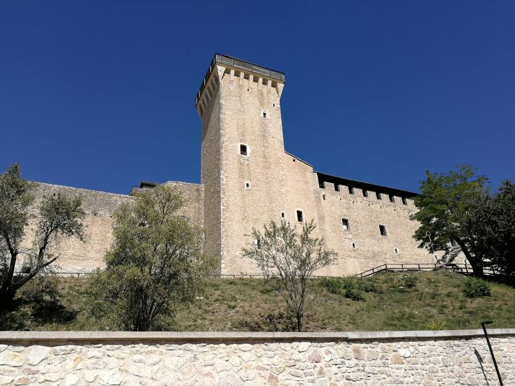
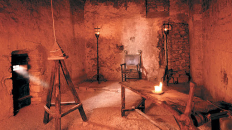
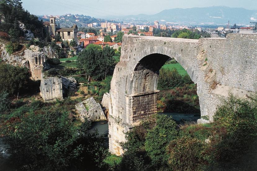
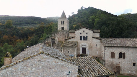
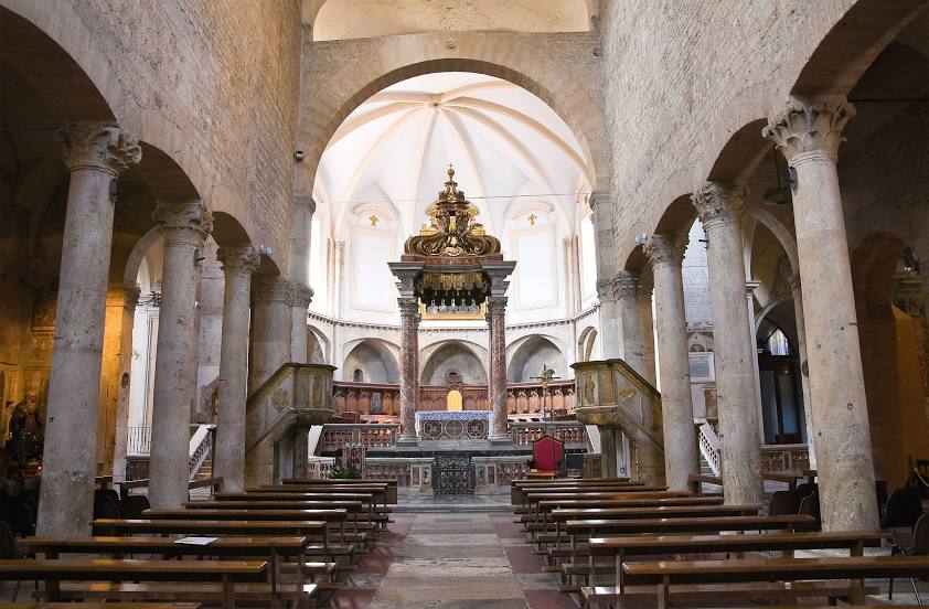
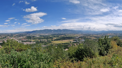
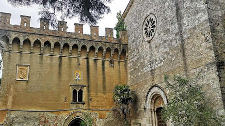
Attractions


Distance to the capital
Distance to the capital (Rome) is about — 68 km.