Glouster — Parnell
Glouster — Malone
Glouster — Brookston
Glouster — Sanford
Glouster — Rothbury
Glouster — El Paso County
Glouster — Mifflintown
Glouster — Paulsboro
Glouster — Peralta
Glouster — Hansberg
Glouster — Sacramento
Glouster — Boyne Falls
Glouster — Airway Heights
Glouster — Craigsville
Glouster — Warthen
Glouster — New Meadows
Glouster — Golden Valley County
Glouster — Dorothy
Glouster — Hiawatha
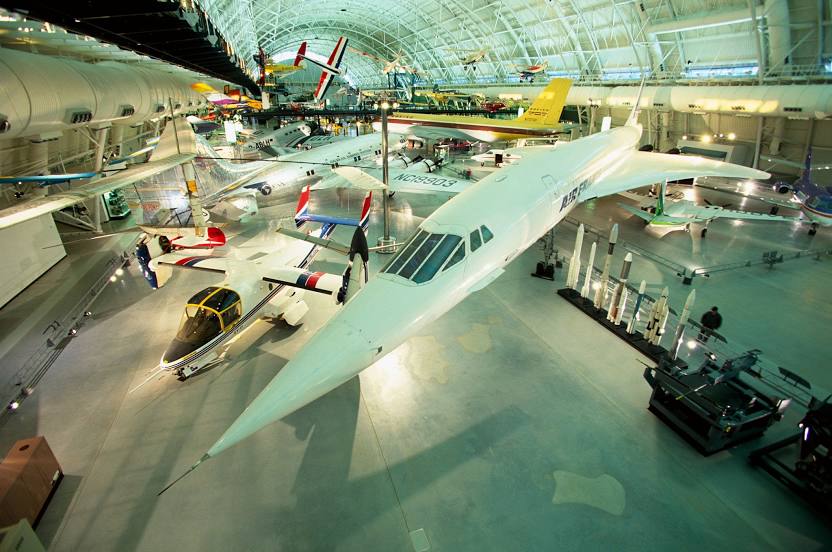
Glouster — Chantilly distance, route on the map
Distance by car
Distance between Glouster, Ohio, United States and Chantilly, Virginia, United States by car is — km, or miles. To travel this distance by car, you need minute, or h.
Route on the map, driving directions
Car route Glouster — Chantilly was created automatically. The road on the map is shown as a blue line. By moving the markers, you can create a new route through the points you need.
Distance by plane
If you decide to take a trip Glouster Chantilly by plane, then you have to fly the distance — 407 km or 252 miles. It is marked on the map with a gray line (between two points in a straight line).
Flight time
Estimated flight time Glouster Chantilly by plane at cruising speed 750 km / h will be — 32 min.
Direction of movement
United States, Glouster — right-hand traffic. United States, Chantilly — right-hand traffic.
Difference in time
Glouster and Chantilly are in the same time zone. Between them there is no time difference (UTC -4 America/New_York).
Interesting Facts
Information on alternative ways to get to your destination.
The length of this distance is about 1.0% of the total length of the equator.
The percentage of the population is clearly shown in the graph:
Glouster — 2,077 (less by 46,415), Chantilly — 48,492 residents.
The cost of travel
Calculate the cost of the trip yourself using the fuel consumption calculator, changing the data in the table.