Hollins — Marble Falls
Hollins — Montalba
Hollins — Gantt
Hollins — Duanesburg
Hollins — Elba
Hollins — Perico
Hollins — Corte Madera
Hollins — Brownsville
Hollins — Thornton
Hollins — Achi
Hollins — Eckley
Hollins — Morville
Hollins — Calpet
Hollins — Jemison
Hollins — Shock
Hollins — Susquehanna
Hollins — Austin-Bergstrom International Airport
Hollins — Pittsburgh
Hollins — Acworth
Salem
Elliston
Christiansburg
Riner
Radford
Dublin
Hiwassee
Barren Springs
Max Meadows
Austinville
Hillsville
Carroll County
Fancy Gap
Cana
Dobson
Elkin
Jonesville
Hamptonville
Turnersburg
Iredell County
Statesville
Troutman
Mooresville
Davidson
Cornelius
Huntersville
Charlotte Douglas International Airport
Gastonia
Gastonia
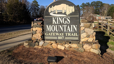
Hollins — Kings Mountain distance, route on the map
Distance by car
Distance between Hollins, Virginia, United States and Kings Mountain, North Carolina, United States by car is — km, or miles. To travel this distance by car, you need minute, or h.
Route on the map, driving directions
Car route Hollins — Kings Mountain was created automatically. The road on the map is shown as a blue line. By moving the markers, you can create a new route through the points you need.
Passing cities through which the car route passes: Salem, Salem, Elliston, Christiansburg, Riner, Radford, Dublin, Hiwassee, Barren Springs, Max Meadows, Austinville, Hillsville, Carroll County, Fancy Gap, Cana, Dobson, Elkin, Jonesville, Hamptonville, Turnersburg, Iredell County, Statesville, Troutman, Mooresville, Davidson, Cornelius, Huntersville, Charlotte Douglas International Airport, Gastonia, Gastonia.
Distance by plane
If you decide to take a trip Hollins Kings Mountain by plane, then you have to fly the distance — 265 km or 164 miles. It is marked on the map with a gray line (between two points in a straight line).
Flight time
Estimated flight time Hollins Kings Mountain by plane at cruising speed 750 km / h will be — 21 min.
Direction of movement
United States, Hollins — right-hand traffic. United States, Kings Mountain — right-hand traffic.
Difference in time
Hollins and Kings Mountain are in the same time zone. Between them there is no time difference (UTC -4 America/New_York).
Interesting Facts
Information on alternative ways to get to your destination.
The length of this distance is about 0.7% of the total length of the equator.
The percentage of the population is clearly shown in the graph:
Hollins — 14,942, Kings Mountain — 10,638 residents (less by 4,304).
The cost of travel
Calculate the cost of the trip yourself using the fuel consumption calculator, changing the data in the table.