Streetly — Askerswell
Streetly — Winterton-on-Sea
Streetly — Kirkham
Streetly — Blackpool
Streetly — Millow
Streetly — Orkney
Streetly — Wolverhampton
Streetly — London Southend Airport
Streetly — Poundon
Streetly — South Petherwin
Streetly — Warfield
Streetly — Guilsfield
Streetly — Appleby-in-Westmorland
Streetly — Cornwell
Streetly — Drighlington
Streetly — Chudleigh
Streetly — Brentford
Streetly — Sandtoft
Streetly — West Bridgford
Birmingham Airport
Solihull
Lapworth
Royal Leamington Spa
Wormleighton
Banbury
Bicester
Shabbington
Great Haseley
Little Haseley
Brightwell Baldwin
Pishill
High Wycombe
Beaconsfield
Fulmer
Uxbridge
West Drayton
Colon Brook
Staines-upon-Thames
Thorpe
Chertsey
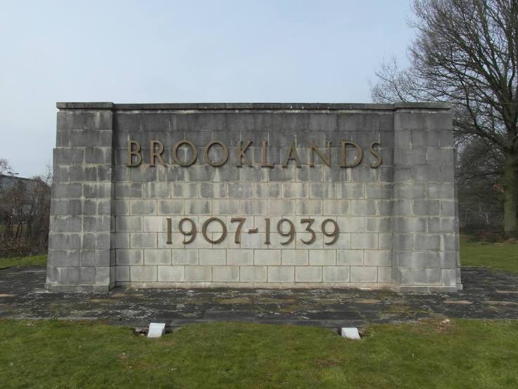
Streetly — Weybridge distance, route on the map
Distance by car
Distance between Streetly, England, United Kingdom and Weybridge, England, United Kingdom by car is — km, or miles. To travel this distance by car, you need minute, or h.
Route on the map, driving directions
Car route Streetly — Weybridge was created automatically. The road on the map is shown as a blue line. By moving the markers, you can create a new route through the points you need.
Passing cities through which the car route passes: Erdington, Birmingham Airport, Solihull, Lapworth, Royal Leamington Spa, Wormleighton, Banbury, Bicester, Shabbington, Great Haseley, Little Haseley, Brightwell Baldwin, Pishill, High Wycombe, Beaconsfield, Fulmer, Uxbridge, West Drayton, Colon Brook, Staines-upon-Thames, Thorpe, Chertsey.
Distance by plane
If you decide to take a trip Streetly Weybridge by plane, then you have to fly the distance — 166 km or 103 miles. It is marked on the map with a gray line (between two points in a straight line).
Flight time
Estimated flight time Streetly Weybridge by plane at cruising speed 750 km / h will be — 13 min.
Direction of movement
United Kingdom, Streetly — left-hand traffic. United Kingdom, Weybridge — left-hand traffic.
Difference in time
Streetly and Weybridge are in the same time zone. Between them there is no time difference (UTC +1 Europe/London).
Interesting Facts
Information on alternative ways to get to your destination.
The length of this distance is about 0.4% of the total length of the equator.
The percentage of the population is clearly shown in the graph:
Streetly — 13,251 (less by 6,212), Weybridge — 19,463 residents.
The cost of travel
Calculate the cost of the trip yourself using the fuel consumption calculator, changing the data in the table.