North Montpelier — Orma
North Montpelier — Rumney
North Montpelier — Alden
North Montpelier — Emerald Isle
North Montpelier — Carrollton
North Montpelier — Glenwood Springs
North Montpelier — Waldoboro
North Montpelier — Duck
North Montpelier — Moultonborough
North Montpelier — Kissimmee
North Montpelier — Crittenden
North Montpelier — Kahului
North Montpelier — Adena
North Montpelier — Kimberly
North Montpelier — Kingston
North Montpelier — Griggsville
North Montpelier — Camargo
North Montpelier — Udall
North Montpelier — Plano
Montpellier
South Barre
Randolph
Killington
Rutland
Castleton
Hydeville
Hampton
Fort Ann
Queensbury
Glens Falls
Saratoga Springs
Malta
Galway
Hagaman
Amsterdam
Amsterdam Airfield
Fultonville
Palatine Bridge
Herkimer
Mohawk
Ilion
Utica
Whitesboro
Oriskany
Verona
Oneida
Canastota
Chittenango
Fayetteville
East Syracuse
North Syracuse
Syracuse
Liverpool
Van Buren
Elbridge
Weedsport
Seneca Falls
Oaks Corners
Shortsville
Pittsford
Rochester
Mumford
Riga
Le Roy
South Byron
Elba
Clarence
Bowmansville
Williamsville
Gardenville
Athol Springs
Dunkirk
Fredonia
Brocton
Portland
Erie
McKean
Cranesville
Conneaut
North Kingsville
Ashtabula
Austinburg
Lake County
Mentor
Willoughby
Wickliffe
Mayfield
Mayfield Heights
Beachwood
Beachwood
Bedford
Macedonia
Peninsula
Richfield
Medina Municipal Airport
Medina
Seville
Ashland
Mansfield
Cesarea
Ohio
Kilbourne
Africa
Westerville
Worthington
Riverlea
Columbus
Grove City
Harveysburg
Oregonia
Lebanon
Mason
Landen
Blue Ash
Kenwood
Amberley
Norwood
Saint Bernard
Covington
Park Hills
Fort Mitchell
Erlanger
Florence
Walton
Glencoe
Worthville
Campbellsburg
Thornhill
Jeffersonville
Fairdale
Hillview
Brooks
Shepherdsville
Elizabethtown
Bonnieville
Munfordville
Horse Cave
Cave City
Smiths Grove
Bowling Green
Alvaton
Goodlettsville
North Montpelier — Orma
North Montpelier — Rumney
North Montpelier — Alden
North Montpelier — Emerald Isle
North Montpelier — Carrollton
North Montpelier — Glenwood Springs
North Montpelier — Waldoboro
North Montpelier — Duck
North Montpelier — Moultonborough
North Montpelier — Kissimmee
North Montpelier — Crittenden
North Montpelier — Kahului
North Montpelier — Adena
North Montpelier — Kimberly
North Montpelier — Kingston
North Montpelier — Griggsville
North Montpelier — Camargo
North Montpelier — Udall
North Montpelier — Plano
Montpellier
South Barre
Randolph
Killington
Rutland
Castleton
Hydeville
Hampton
Fort Ann
Queensbury
Glens Falls
Saratoga Springs
Malta
Galway
Hagaman
Amsterdam
Amsterdam Airfield
Fultonville
Palatine Bridge
Herkimer
Mohawk
Ilion
Utica
Whitesboro
Oriskany
Verona
Oneida
Canastota
Chittenango
Fayetteville
East Syracuse
North Syracuse
Syracuse
Liverpool
Van Buren
Elbridge
Weedsport
Seneca Falls
Oaks Corners
Shortsville
Pittsford
Rochester
Mumford
Riga
Le Roy
South Byron
Elba
Clarence
Bowmansville
Williamsville
Gardenville
Athol Springs
Dunkirk
Fredonia
Brocton
Portland
Erie
McKean
Cranesville
Conneaut
North Kingsville
Ashtabula
Austinburg
Lake County
Mentor
Willoughby
Wickliffe
Mayfield
Mayfield Heights
Beachwood
Beachwood
Bedford
Macedonia
Peninsula
Richfield
Medina Municipal Airport
Medina
Seville
Ashland
Mansfield
Cesarea
Ohio
Kilbourne
Africa
Westerville
Worthington
Riverlea
Columbus
Grove City
Harveysburg
Oregonia
Lebanon
Mason
Landen
Blue Ash
Kenwood
Amberley
Norwood
Saint Bernard
Covington
Park Hills
Fort Mitchell
Erlanger
Florence
Walton
Glencoe
Worthville
Campbellsburg
Thornhill
Jeffersonville
Fairdale
Hillview
Brooks
Shepherdsville
Elizabethtown
Bonnieville
Munfordville
Horse Cave
Cave City
Smiths Grove
Bowling Green
Alvaton
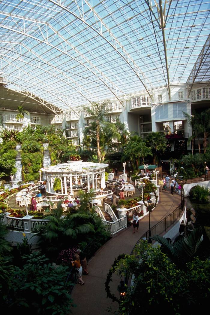
Goodlettsville
North Montpelier — Nashville distance, route on the map
Distance by car
Distance between North Montpelier, Vermont, United States and Nashville, Tennessee, United States by car is — km, or miles. To travel this distance by car, you need minute, or h.
Route on the map, driving directions
Car route North Montpelier — Nashville was created automatically. The road on the map is shown as a blue line. By moving the markers, you can create a new route through the points you need.
Passing cities through which the car route passes: East Montpelier, Montpellier, South Barre, Randolph, Killington, Rutland, Castleton, Hydeville, Hampton, Fort Ann, Queensbury, Glens Falls, Saratoga Springs, Malta, Galway, Hagaman, Amsterdam, Amsterdam Airfield, Fultonville, Palatine Bridge, Herkimer, Mohawk, Ilion, Utica, Whitesboro, Oriskany, Verona, Oneida, Canastota, Chittenango, Fayetteville, East Syracuse, North Syracuse, Syracuse, Liverpool, Van Buren, Elbridge, Weedsport, Seneca Falls, Oaks Corners, Shortsville, Pittsford, Rochester, Mumford, Riga, Le Roy, South Byron, Elba, Clarence, Bowmansville, Williamsville, Gardenville, Athol Springs, Dunkirk, Fredonia, Brocton, Portland, Erie, McKean, Cranesville, Conneaut, North Kingsville, Ashtabula, Austinburg, Lake County, Mentor, Willoughby, Wickliffe, Mayfield, Mayfield Heights, Beachwood, Beachwood, Bedford, Macedonia, Peninsula, Richfield, Medina Municipal Airport, Medina, Seville, Ashland, Mansfield, Cesarea, Ohio, Kilbourne, Africa, Westerville, Worthington, Riverlea, Columbus, Grove City, Harveysburg, Oregonia, Lebanon, Mason, Landen, Blue Ash, Kenwood, Amberley, Norwood, Saint Bernard, Covington, Park Hills, Fort Mitchell, Erlanger, Florence, Walton, Glencoe, Worthville, Campbellsburg, Thornhill, Jeffersonville, Fairdale, Hillview, Brooks, Shepherdsville, Elizabethtown, Bonnieville, Munfordville, Horse Cave, Cave City, Smiths Grove, Bowling Green, Alvaton, Goodlettsville.
Distance by plane
If you decide to take a trip North Montpelier Nashville by plane, then you have to fly the distance — 1513 km or 938 miles. It is marked on the map with a gray line (between two points in a straight line).
Flight time
Estimated flight time North Montpelier Nashville by plane at cruising speed 750 km / h will be — 2 h. and 1 min.
Direction of movement
United States, North Montpelier — right-hand traffic. United States, Nashville — right-hand traffic.
Difference in time
North Montpelier and Nashville are in different time zones. The time difference is 1 hour (UTC -4 America/New_York, UTC -5 America/Chicago).
Interesting Facts
Information on alternative ways to get to your destination.
The length of this distance is about 3.8% of the total length of the equator.
The cost of travel
Calculate the cost of the trip yourself using the fuel consumption calculator, changing the data in the table.