Imlay — Allenton
Imlay — Troutman
Imlay — Oakridge
Imlay — Seaside
Imlay — Oktaha
Imlay — Zapata County
Imlay — Hanover
Imlay — Cambridge
Imlay — Seaview
Imlay — Round Rock
Imlay — Churchton
Imlay — Morven
Imlay — Santee
Imlay — Zuni
Imlay — Tenaha
Imlay — Covington
Imlay — Minnetonka
Imlay — Woodhaven
Imlay — Falls of Rough
Fernley
Sparks
Reno
Floriston
Truckee
Eder
Norden
Soda Springs
Gold Run
Cape Horn
Colfax
Weimar
Meadow Vista
Auburn
Newcastle
Rocklin
Roseville
Citrus Heights
North Highlands
Sacramento
West Sacramento
Davis
Dixon
Vacaville
Fairfield
Suval
Benicia
Martinez
Pacheco
Pleasant Hill
Walnut Creek
Alamo
Danville
San Ramon
Dublin
Pleasanton
Sunol
Fremont
Milpitas
Terminal A
Santa Clara
Fruitdale
Campbell
Los Gatos
Scotts Valley
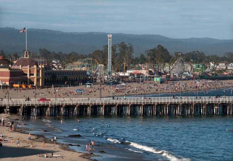
Imlay — Santa Cruz distance, route on the map
Distance by car
Distance between Imlay, Nevada, United States and Santa Cruz, California, United States by car is — km, or miles. To travel this distance by car, you need minute, or h.
Route on the map, driving directions
Car route Imlay — Santa Cruz was created automatically. The road on the map is shown as a blue line. By moving the markers, you can create a new route through the points you need.
Passing cities through which the car route passes: Lovelock, Fernley, Sparks, Reno, Floriston, Truckee, Eder, Norden, Soda Springs, Gold Run, Cape Horn, Colfax, Weimar, Meadow Vista, Auburn, Newcastle, Rocklin, Roseville, Citrus Heights, North Highlands, Sacramento, West Sacramento, Davis, Dixon, Vacaville, Fairfield, Suval, Benicia, Martinez, Pacheco, Pleasant Hill, Walnut Creek, Alamo, Danville, San Ramon, Dublin, Pleasanton, Sunol, Fremont, Milpitas, Terminal A, Santa Clara, Fruitdale, Campbell, Los Gatos, Scotts Valley.
Distance by plane
If you decide to take a trip Imlay Santa Cruz by plane, then you have to fly the distance — 530 km or 329 miles. It is marked on the map with a gray line (between two points in a straight line).
Flight time
Estimated flight time Imlay Santa Cruz by plane at cruising speed 750 km / h will be — 42 min.
Direction of movement
United States, Imlay — right-hand traffic. United States, Santa Cruz — right-hand traffic.
Difference in time
Imlay and Santa Cruz are in the same time zone. Between them there is no time difference (UTC -7 America/Los_Angeles).
Interesting Facts
Information on alternative ways to get to your destination.
The length of this distance is about 1.3% of the total length of the equator.
The cost of travel
Calculate the cost of the trip yourself using the fuel consumption calculator, changing the data in the table.