Gladeville — Sarah Ann
Gladeville — Coffeyville
Gladeville — Bend
Gladeville — Beckville
Gladeville — Esopus
Gladeville — Port Gamble
Gladeville — Beavercreek
Gladeville — Austell
Gladeville — Montauk
Gladeville — Gaffney
Gladeville — Cambridge
Gladeville — Pampa
Gladeville — Harjo
Gladeville — Drummonds
Gladeville — Vulcan
Gladeville — San Geronimo
Gladeville — Fairfield Glade
Gladeville — Hendersonville
Gladeville — Tallassee Municipal Airport
Nashville International Airport
Nashville
Clarksville
Fort Campbell
Gracey
Cadiz
Eddyville
Kuttawa
Grand Rivers
Calvert City
Paducah
McCracken County
Kevil
Cairo
Sikeston
Morehouse
Grayridge
Dexter
Fisk
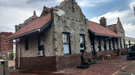
Gladeville — Poplar Bluff distance, route on the map
Distance by car
Distance between Gladeville, Tennessee, United States and Poplar Bluff, Missouri, United States by car is — km, or miles. To travel this distance by car, you need minute, or h.
Route on the map, driving directions
Car route Gladeville — Poplar Bluff was created automatically. The road on the map is shown as a blue line. By moving the markers, you can create a new route through the points you need.
Passing cities through which the car route passes: Mount Juliet, Nashville International Airport, Nashville, Clarksville, Fort Campbell, Gracey, Cadiz, Eddyville, Kuttawa, Grand Rivers, Calvert City, Paducah, McCracken County, Kevil, Cairo, Sikeston, Morehouse, Grayridge, Dexter, Fisk.
Distance by plane
If you decide to take a trip Gladeville Poplar Bluff by plane, then you have to fly the distance — 363 km or 225 miles. It is marked on the map with a gray line (between two points in a straight line).
Flight time
Estimated flight time Gladeville Poplar Bluff by plane at cruising speed 750 km / h will be — 29 min.
Direction of movement
United States, Gladeville — right-hand traffic. United States, Poplar Bluff — right-hand traffic.
Difference in time
Gladeville and Poplar Bluff are in the same time zone. Between them there is no time difference (UTC -5 America/Chicago).
Interesting Facts
Information on alternative ways to get to your destination.
The length of this distance is about 0.9% of the total length of the equator.
The cost of travel
Calculate the cost of the trip yourself using the fuel consumption calculator, changing the data in the table.