Gosnell — Linville
Gosnell — Swan Valley
Gosnell — Callands
Gosnell — Eolia
Gosnell — Fallston
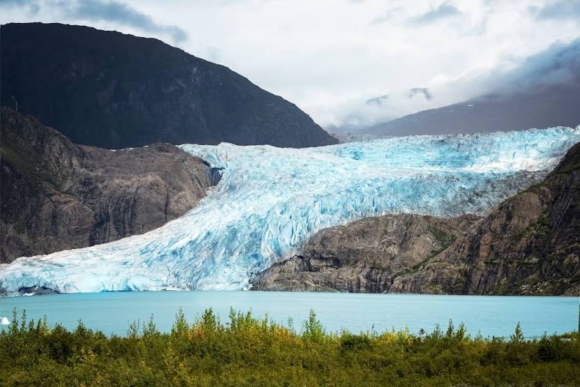
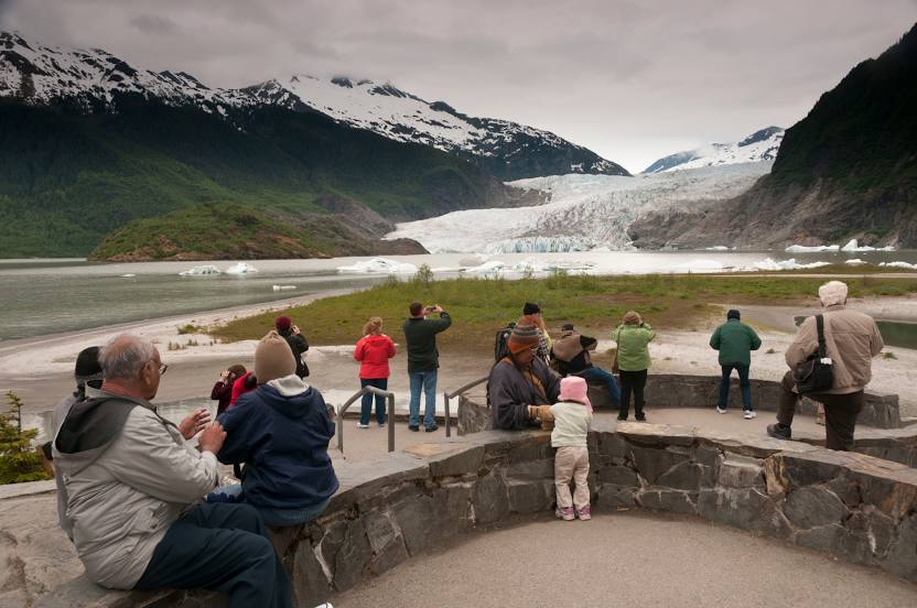
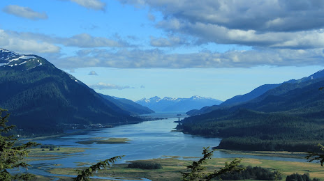
Gosnell — Kake
Gosnell — Columbus
Gosnell — Westampton
Gosnell — Gouverneur
Gosnell — El Dorado
Gosnell — Walton
Gosnell — Portsmouth
Gosnell — Delano
Gosnell — Salisbury
Gosnell — Fairfield
Gosnell — St. Joseph
Gosnell — Berkey
Gosnell — Kimberly
Gosnell — Pāhoa
Gosnell — Linville
Gosnell — Swan Valley
Gosnell — Callands
Gosnell — Eolia
Gosnell — Fallston
Gosnell — Kake
Gosnell — Columbus
Gosnell — Westampton
Gosnell — Gouverneur
Gosnell — El Dorado
Gosnell — Walton
Gosnell — Portsmouth
Gosnell — Delano
Gosnell — Salisbury
Gosnell — Fairfield
Gosnell — St. Joseph
Gosnell — Berkey
Gosnell — Kimberly
Gosnell — Pāhoa
Gosnell — Juneau distance, route on the map
Distance by car
Distance between Gosnell, Arkansas, United States and Juneau, Alaska, United States by car is — km, or miles. To travel this distance by car, you need minute, or h.
Route on the map, driving directions
Car route Gosnell — Juneau was created automatically. The road on the map is shown as a blue line. By moving the markers, you can create a new route through the points you need.
Distance by plane
If you decide to take a trip Gosnell Juneau by plane, then you have to fly the distance — 4066 km or 2521 miles. It is marked on the map with a gray line (between two points in a straight line).
Flight time
Estimated flight time Gosnell Juneau by plane at cruising speed 750 km / h will be — 5 h. and 25 min.
Direction of movement
United States, Gosnell — right-hand traffic. United States, Juneau — right-hand traffic.
Difference in time
Gosnell and Juneau are in different time zones. The time difference is 3 hours (UTC -5 America/Chicago, UTC -8 America/Anchorage).
Interesting Facts
Information on alternative ways to get to your destination.
The length of this distance is about 10.1% of the total length of the equator.
The percentage of the population is clearly shown in the graph:
Gosnell — 3,647 (less by 28,149), Juneau — 31,796 residents.
The cost of travel
Calculate the cost of the trip yourself using the fuel consumption calculator, changing the data in the table.